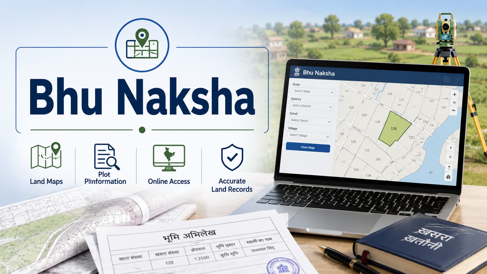
While purchasing or owning property in India, it is extremely vital to have a clear idea of the physical demarcation of the property, its size, and its geographical location. Here comes the importance of Bhu Naksha. The term land map literally means 'land map' or 'plot map', and it is the graphical documentation of the physical aspects of your property including its demarcation and location, prepared by the government revenue officials. Naksha functions as the visual counterpart to revenue records like those accessed through Land Records Online systems. While Land Records Online provides textual information about your property's ownership, area, and tax details, an official property map provides the graphical representation showing exactly where your property is located, how it's shaped, and what boundaries define it. Together, these records create a complete property profile essential for ownership verification and transaction legitimacy. Be it buying real estate in Gurugram Sector 12, near Raja Nahar Singh Faridabad, or any other place within India, knowing your Bhu Naksha is crucial in protecting your rights. This document will help prevent any boundary disputes, allow you to sell the property, enable you to mortgage the property, and gives a definite proof of your property measurements and positioning. In case you lack a proper boundary map, your boundaries will be unclear. Bhu Naksha is an official document in the form of a map, issued by the revenue department of concerned state governments. This map clearly shows the actual demarcation lines that show the exact boundaries of your property with respect to the boundaries of your neighboring properties and public land. The land parcel map is prepared based on the surveys done by registered surveyors. It should be known that this official map is very important as it is used for proof of property boundaries and area. In case there is any dispute regarding the boundaries between the properties, the revenue record can be used to help settle the disputes and provide proof of government records. The property map also helps in property transactions because it provides information about boundary details. In case you buy any property, looking into this mapped record will help you find whether the boundaries of the property coincide with those stated by the owner. If the dimensions of the property do not correspond to those depicted in the survey map, there might be some kind of fraud that has to be sorted out. Furthermore, this boundary record assists in getting mortgages and loans. Banks need the relevant land map as part of their procedure while giving property loans because it is necessary for them to know about the properties. Insurance companies rely upon the information provided by the official property map in order to provide property insurance and premiums. Government bodies also use the cadastral map for urban planning, infrastructure planning and property taxation purposes. Municipality bodies refer to this official record for the planning of streets and other infrastructures. Property taxes are assessed according to the data given in the mapped land record. How Bhu Naksha fits into other property documentation processes allows you to understand the whole process of property record keeping in India. The official land map supplements the textual revenue records that create the legal basis for property ownership. The Land Records Online system gives a complete textual account of the property ownership, area measurement, taxation, and the property’s history. From the system available via different online portals, one can access information on who owns the property, the property taxes applicable, and the property's history. However, the Land Records Online system has only numerical and textual information regarding the land and does not have any maps showing where the land actually is. Here comes the importance of this map. While the Land Records Online informs you that you own a piece of land measuring 500 square meters, the land parcel map shows you where exactly the land is, the directions of the land boundaries, and how the land fits into the surrounding properties and roads. In states like Haryana, Jamabandi Haryana records represent the textual ownership and tax information, while map document provides the graphical representation. Similarly, Bhulekh systems in various states document the written records, while the maps show the visual representation. Both are equally important for complete property documentation. Accessing your Naksha is a straightforward process that has become increasingly easier with digital government initiatives. Understanding the various access methods ensures you can obtain your land map whenever needed. Online Access Through Government Portals Most state governments now provide online access to official property maps through dedicated land records portals. These portals typically allow you to search for properties by owner name, property address, or village/block location. Once you locate your property in the online database, you can view and download the map document digitally. Digital access eliminates the need to visit revenue offices and provides instant access to map documents. Accessing Through Land Records Online Platforms In Haryana, Land Records Online portals often provide integrated access to both textual records and mapped property details. You can search your property through Land Records Online and view the associated boundary map simultaneously, creating a comprehensive property profile in one place. Jamabandi Haryana and Bhulekh Integration In Haryana, Jamabandi Haryana records increasingly include links to associated Bhu Naksha maps. Similarly, Bhulekh systems in various states provide access to map documents alongside textual records. This integration streamlines property research by providing both components of property documentation in a unified platform. Physical Visits to Revenue Offices If online access isn't available or you prefer physical documentation, visit your local revenue office or tehsil (subdivision office). Revenue department staff can provide certified copies of your land map upon request. Bring your property identification documents and be prepared to pay nominal fees for certified copies. Through Licensed Surveyors Licensed property surveyors can obtain revenue maps from revenue records and provide certified copies to you. This option is useful if you need additional surveys or verification of the existing map document. Surveyors often provide updated maps reflecting boundary modifications or property subdivisions. Reading a Bhu Naksha requires understanding the symbols, measurements, and markings used in the map. Learning to interpret these maps helps you verify property boundaries and identify potential boundary issues. Property Boundaries and Demarcation Lines The official map shows property boundaries as solid or dotted lines separating your property from neighboring properties. The clarity and straightness of these lines indicate how well-defined your boundaries are. Irregular or unclear demarcation lines may indicate historical boundary disputes or encroachments. Area Measurements The property map includes area measurements in square meters or square feet, typically marked in the property's center or corners. Verify these measurements match the area shown in your revenue records accessed through Land Records Online. Discrepancies between map measurements and official records indicate errors requiring correction. Orientation and Directions Most maps include a directional compass showing north orientation. This helps you understand your property's direction relative to cardinal directions. Properties with clear north-south orientation often appear more orderly and may be easier to describe when referring to neighboring properties. Road Access and Frontage The boundary map shows whether your property fronts on public roads, and which roads access your property. Properties with good road access and frontage typically command higher values. Landlocked properties without direct road access face significant complications for access and development. Neighboring Properties The map shows neighboring property boundaries and sometimes includes neighboring owners' names. Examining neighboring properties helps identify potential boundary dispute risks and understand the property's neighborhood context. Notations and Symbols Maps include various symbols indicating wells, temples, schools, or other significant features. These notations provide context about your property's surroundings and may indicate easements or public access rights that affect your property use. Scale Indication Maps include a scale showing the relationship between map dimensions and actual ground measurements. Understanding the scale helps you estimate actual distances and area sizes from the map representation. While Naksha serves as the official government representation of property boundaries, the documents occasionally contain errors or become outdated. Verifying map accuracy is essential before relying on the map for property transactions or boundary decisions. Common Map Errors Measurement errors result from inaccurate surveys and manual mapping that creates inaccuracies in the measurements. Thus, the land map may have wrong measurements that do not conform to actual measurements of the property. However, modern technology has largely corrected this error in surveys; however, older maps may have serious measurement errors. Boundary errors occur due to errors in the surveys done in the past, or when there were boundary errors intentionally. Boundary discrepancies in some properties may persist since there are no efforts to correct them. Old maps become inaccurate due to subdividing of the land, consolidating or changing the boundaries. The property may have been subdivided by the former owners of the property. Make sure that your official property map reflects the current status of the property and not the old status. Depictions of encroachments do not correctly show the encroachments especially when there are encroachments after the drawing of the map. The unauthorized structures drawn by the neighbors may not appear on the survey record. Verifying Map Accuracy The best way to verify this is to go to your property personally and check the actual situation on the ground with the map depiction. Take your GPS machine to the boundary of the land and check the distance that you measure with the depiction on the map. Get a surveyor and conduct your own analysis of the property and compare the results with the official documentation.which may require mutation of property after sale if ownership has changed. Cross-check your map with adjoining lots in order to find any discrepancies. In case your boundary indicates one measurement while that of the adjacent landowner indicates another measurement at the common boundary line, then there is definitely an error. Consult revenue documents through Land Records Online or Jamabandi Haryana systems and verify that area figures in textual records align with what appears in your cadastral plan. Cross-check your Khata certificate & number details separately. Any substantial gaps warrant investigation and correction via official authorities. For a comprehensive approach, refer to the land record verification guide to ensure all documentation stays accurate. When Bhu Naksha contains errors or becomes outdated due to property modifications, you must initiate correction procedures through revenue authorities. Subdividing Properties If property is divided into a number of plots, then changes have to be made to the original land map in order to indicate the boundaries of each of these plots. The procedure includes: Survey to ascertain the exact boundaries of the subdivided plots Preparation of new maps for each of the plots Submittal of the subdivision details and new maps to the revenue authorities Each of these subdivisions leads to the preparation of fresh property maps, which will be allotted their own property identification numbers. Boundary Modifications In the event of change in the boundary of the property through agreements or orders from the court of law, there is a need for revision of the official map to show changes in boundary lines. This can be done by: Proving the change in boundary through agreement or court of law Performing new surveys for modified boundaries Drawing new boundary maps with changed boundaries Submitting request for modifications along with the documentation Correcting Measurement Errors When this record contains measurement errors, you can request correction by: Documenting the error through independent survey comparison Submitting correction requests with surveyor reports showing discrepancies Providing evidence supporting the correct measurements Obtaining official correction through revenue department approval Adding Enclosure Structures When you construct boundary walls, gates, or other structures modifying property appearance, updating this map to reflect these additions is advisable. This ensures the official map matches actual ground conditions and prevents future disputes about property extent. During property buying and selling, Naksha plays a crucial role in verifying property authenticity and preventing fraud. Pre-Purchase Verification Any land purchase must be done after examining the revenue map of the seller to ensure that: The location of the land is verified The dimensions of the land correspond to your purchase The land boundaries have any peculiar shape or form Road connectivity and frontage can be verified Matching the official property map with the ground reality during land visit is very important. Identifying Disputed Boundaries If neighboring properties show conflicting boundaries in their respective maps, boundary disputes likely exist. Investigating such disputes before purchasing prevents inheriting complex boundary litigation. Documenting Property Extent The Naksha serves as definitive documentation of the property extent you're purchasing. If the seller claims larger area than shown in this map, this discrepancy indicates either fraud or documentation errors requiring resolution. Supporting Title Insurance and Mortgages Lenders require the official land map as part of their due diligence before approving mortgages. Title insurance companies reference this document when assessing title risks and determining insurance coverage. A clear, accurate boundary record facilitates financing. Property taxation generally relies on the measurement and classification of land that is provided in this record. Knowledge of this relationship will enable you to conduct property tax assessment in a correct way. Classification of properties (whether residential, commercial or agricultural) which are done through the use of the map determines how the tax rate is set for a given property. If the property classification of your land record is wrong, it means you might be paying taxes wrongly. Measurements of property area in this official map form the basis for property taxation assessment. Overstatement of the property area in the document means that you will be taxed on the overstated amount of area. If the area of your property in this map is underestimated, you will have disputes when the real area of your property is known. When property is reassessed for taxation purposes, tax authorities typically consult the boundary record to verify area and boundaries. Ensuring your official property map accurately reflects actual property characteristics prevents tax disputes and assessment errors. Contemporary governmental efforts are gradually merging the concept of Bhu Naksha with digitized platforms such as Land Records Online, Jamabandi Haryana, and Bhulekh to form digitized profiles of properties available online. GIS-Based Mapping Systems A number of states use the Geographic Information System (GIS) that generates digital representation of land maps. Such systems make it possible to search for properties using coordinates, property identification codes, or names of owners, with both map and text being displayed simultaneously. Online Portal Access Land Records Online portals become more and more capable of providing access to official maps together with text-based record keeping. This is why you will be able to check the information about the property on the Land Records Online portal and see the corresponding map at the same time. Mobile Application Access Certain states offer mobile applications that provide access to the Bhu Naksha via smartphone. The application enables searching for the properties and comparing the maps and ground reality in real time. Blockchain Integration Future-oriented states are considering using blockchain technologies to create Naksha records that cannot be manipulated. 1. What is the difference between Bhu Naksha and Jamabandi/Bhulekh? 2. Is Bhu Naksha mandatory for all properties? 3. Can I rely on Bhu Naksha alone to prove property boundaries? 4. How often is Bhu Naksha updated? 5. What should I do if I discover errors in my Bhu Naksha? 6. Can I access Bhu Naksha through Land Records Online portals? 7. How do I verify that a Bhu Naksha is authentic? 8. Do I need Bhu Naksha for getting a property loan? 9. What if my property's Bhu Naksha shows boundaries different from neighboring properties' maps? 10. How does Bhu Naksha impact property value and marketability? Bhu Naksha is an integral part of property documentation in India, offering the map of the property location and boundaries that go with other documentations of the property done using systems such as Land Records Online, Jamabandi Haryana, and Bhulekh. You need to know how to understand the official map of your property and make sure it is accurate at all times to protect your rights in terms of property ownership. Whenever you are planning to buy property either in Sector 12 Gurugram or close to Raja Nahar Singh Faridabad or any other property in India, then you have to take time to get and study the relevant map of the property you want to purchase. The process should involve comparing the official map with the actual condition on the ground, measuring distances in accordance with the revenue records accessible via Land Records Online, and making changes when necessary.Bhu Naksha: Complete Guide to Land Maps
What is Naksha and Its Importance
The Relationship Between Bhu Naksha and Revenue Records
How to Access Your Bhu Naksha
Understanding Naksha: How to Read Property Maps
Bhu Naksha Verification and Accuracy Issues
Updating and Correcting Your Naksha
Naksha's Role in Property Transactions
Naksha and Property Taxation
Digital Integration and Modern Bhu Naksha Systems
Frequently Asked Questions
The graphical mapping of the property boundary and location is known as Bhu Naksha. The document recording the details of the ownership, area, tax, and history of transfer of property is known as Jamabandi Haryana and Bhulekh. Both documents are required because the map gives information regarding the location of the property whereas Jamabandi/Bhulekh gives ownership information.
Preparation of land maps occurs for all the properties in India as a part of normal land record process. However, availability differs from state to state and also between urban and rural properties. Availability of these maps for most of the urban properties is easily available, but not the same case for rural properties.
Naksha is the government’s official representation of the boundaries, but depending solely on old and unreliable maps can lead to problems. Always check the reliability of the official map through surveying prior to its use in any boundary dispute or decision making.
The official land map is revised when land is divided, merged, or there are boundary changes. Routine revisions are not done unless changes require revisions of the maps. Maps can go without revisions for decades if there are no changes to the land.
Record the mistake by carrying out an independent survey comparison, document the difference, and request correction from your local tax office. It normally takes 30 to 90 days to have corrections processed.
Most of the Land Records Online sites provide you with a combined view of the property map along with text-based records. It depends on the state and particular site whether such an option is available. Please visit your state’s Land Records portal for more information.
The characteristics of an authentic revenue map include official stamps, signatures of revenue officers, date stamps, and identification numbers of the land. To authenticate the document, these aspects should be checked, and cross-referenced with the records available through Jamabandi Haryana and Bhulekh systems.
Almost all the banks use this map while performing due diligence regarding the property loan. The map allows banks to assess the value of the property and verify the characteristics of the property. Properties which do not have a proper boundary record find it difficult to obtain finance.
Boundary discrepancies between adjacent properties' maps indicate potential errors requiring investigation. Contact revenue authorities to identify and resolve the discrepancy. Boundary disputes often stem from such mapping inconsistencies.
Accurate boundary documentation increases the worth of the property through proper documentation of boundaries. Property with doubtful or ambiguous boundaries shown in inconsistent maps is likely to have lower worth and problems of sale. Accurate land records safeguards the value of your property.Conclusion