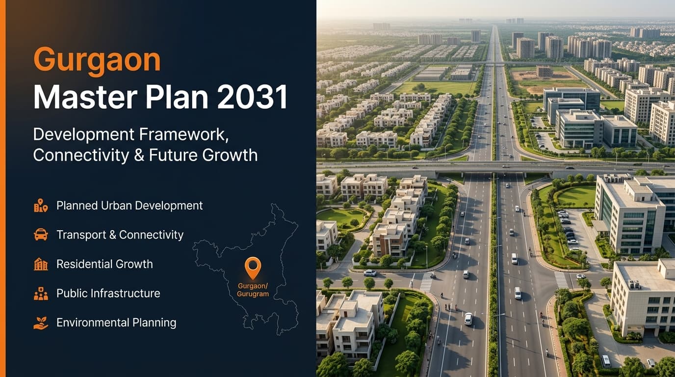
Gurugram has developed into an important urban and economic hub of the National Capital Region and has made the need for organized planning and development with regard to mobility, public amenities and services, and environmental management more critical. The Gurgaon Master Plan 2031 offers an overall structure of the planned development within the urban complex of Gurgaon-Manesar and its preparation for an anticipated population of around 42.5 lakh. Rather than dealing only with any single form of development, the overall structure includes transportation planning, utilities, employment zones, community facilities, green open spaces, agriculture and conservation requirements. It also sets out the overall structure of functioning and interrelationships among the various components of the urban complex. This structure is helpful for assessing the development in Gurugram, though the planned provision does not mean that a project would already be accomplished or approved. It is the subsequent approval and implementation of specific roads, facilities, corridors and land uses which could be required for the planned projects. This process is termed the Final Development Plan for the Gurgaon-Manesar Urban Complex, which applies to the controlled areas identified around Gurgaon and Manesar. It gives a general spatial orientation for the future growth of the urban complex instead of functioning as a timeline for specific development projects. The plan includes land use zones, takes into account the compatibility of roads, amenities, utilities, recreational spaces, employment zones, conservation areas, and areas that require more control due to environmental, agricultural, defense, and other planning reasons. This broader context provides an understanding of why different parts of Gurugram exhibit varying development trends and infrastructure needs. Thus, it should be regarded as an urban planning framework for the city in the long run and not a set of projects to be implemented before 2031. The planning framework divides the urban complex into several major functional categories, each serving a different purpose in the city's long-term structure. These categories are designed to support population growth, economic activity, mobility, public services, and environmental balance. The major planning components include: Residential areas for accommodating future population growth and supporting community facilities. Commercial areas for business, retail, offices, and service-related activities. Industrial areas for employment-generating and technology-oriented activities, particularly around the Manesar side. Public and semi-public areas for institutions, government facilities, education, healthcare, and related services. Public utilities for essential infrastructure such as water, electricity, sewerage, and waste management. Transport areas covering major roads, sector roads, railway connections, and mass-transit requirements. Open and green areas supporting recreation and environmental balance. Agricultural and conservation areas where development is controlled to protect natural and agricultural resources. The development plan has been prepared based on the estimation of the population of about 42.5 lakh up to 2031. It is necessary to estimate the population in planning so that the requirement in the future for roads, utilities, recreational sites, and other facilities is known. The residential planning is one of the important components of this planning, wherein the existing developed area and urbanisable area are considered based on the future population growth. Apart from this, the development plan also helps in creating the supporting facilities within the planned areas in such a manner that the needs of day to day life are fulfilled without adding any unnecessary load to the major transportation routes. However, it must be noted that the population figure mentioned above is just an estimated figure and not the actual figure of 2031. Economic use plays an essential part in the structure of the urban Gurgaon-Manesar region due to the special zones that have been set up for economic use and industry. Such zoning is done in order to assist in the functioning of business activities, offices, economic uses like retail and others required by the growing urban population. Industrial zoning plays a vital role in the case of Manesar since the uses such as employment, industry, technology and logistics have played a significant role in the shaping of the region. Economic use also includes commercial zones on the selected transport routes for making the place accessible and aiding neighboring regions. Connectivity: Gurugram depends heavily on links with Delhi, Manesar, Sohna, Faridabad, and other parts of the National Capital Region. Transport framework: The plan provides for major road connections, sector-dividing roads, railway-related infrastructure, and mass-transit requirements. Changing proposals: Several transport proposals have evolved since the original framework was prepared, so older references may not reflect current alignments or project status. Development vision: The broader aim is to improve movement between residential areas, employment centres, industrial zones, and regional destinations while reducing pressure on existing routes. Metro planning: Readers researching the Gurgaon master plan 2031 metro route should separate historical proposals from the latest approved, under-construction, and operational projects. Implementation: The practical value of a transport proposal ultimately depends on actual implementation, not simply its inclusion in an earlier planning document. Environmental setting: Gurugram's expansion takes place alongside the Aravalli landscape, forest-related areas, water resources, open spaces, and other sensitive locations. Natural conservation: The framework recognises conservation areas and includes provisions to limit uncontrolled development in environmentally important zones. Additional regulations: Separate environmental rules, court directions, land classifications, and approval requirements may apply depending on the location. Aravalli restrictions: Development controls can vary according to the legal and environmental status of specific areas. Protected areas: Green belts, open spaces, water channels, and other controlled areas must be considered alongside normal land-use planning. Due diligence: Anyone assessing development possibilities near sensitive areas should verify the exact legal status and applicable restrictions rather than relying only on the development plan. Gurgaon-Manesar: Gurgaon and Manesar form the core of the Gurgaon-Manesar Urban Complex framework. Sohna: Sohna has a separate development-planning framework and should not automatically be treated as part of the same plan. Delhi connection: Gurugram's growth remains closely connected with Delhi through transportation, employment, infrastructure, and regional development. NCR planning: Readers can also explore our Delhi Master Plan 2047 guide to understand the wider development framework of the national capital. Planning boundaries: Geographically connected areas do not necessarily follow the same planning document, especially near different planning boundaries. Pataudi: Surrounding locations such as Pataudi have their own planning considerations and should be assessed separately. An important thing to realize is that a development plan does not mean all proposals have been implemented. An envisioned road, for instance, might need further engineering design, land coordination, permissions, funding, construction, and finally opening before it can be used. The same is true for corridors, institutional buildings, utility systems, commercial districts, and other infrastructure projects. One useful way of evaluating the status of a project would be to categorize it as: Planned: Included within the broader development framework. Proposed: Identified for possible future implementation. Approved: Received the relevant approval for implementation. Under construction: Physical work has started. Operational: Available for actual use. The planning template will become much more valuable when linked with the latest data available regarding the particular site being considered. Firstly, determine the precise sector, village, corridor, or area to determine its correct land use zoning. After that, look at the appropriate sector or zoning plan and ascertain whether the proposed infrastructure is there or not. It is essential to go through any relevant development controls, environmental constraints, road reservation and utility provisions before arriving at a conclusion. The city-wide plan alone does not help in deciding what is allowed on a particular plot or whether a facility will be delivered or not. The development framework uses an estimated population of about 42.5 lakh for the Gurgaon-Manesar Urban Complex by 2031. This figure is used for planning future infrastructure, utilities, public facilities, and land requirements. It should not be treated as a current population figure. Yes. Gurugram is covered by a formal development framework for the Gurgaon-Manesar Urban Complex. The commonly searched term “Gurgaon Master Plan 2031” generally refers to this long-term planning framework. The framework recognises mass transit as an important part of future mobility, but individual metro proposals can change through later feasibility studies, approvals, alignments, and implementation decisions. Historical proposals should therefore be separated from current approved and operational routes. The complete development-plan document is available through the relevant Haryana planning authority's official publication system. Readers should verify that they are accessing the applicable final document rather than an old draft, partial document, or unrelated sector plan. The framework covers designated controlled areas forming the Gurgaon-Manesar Urban Complex and includes land-use, transportation, utilities, public facilities, open spaces, agricultural areas, and conservation provisions. Nearby areas may follow separate planning frameworks. The major categories include residential, commercial, industrial, public and semi-public, public utilities, transportation, open spaces, agriculture, and natural conservation. Each category has a different role within the wider urban structure. Yes. Manesar is an important part of the Gurgaon-Manesar Urban Complex and has a significant industrial and employment-oriented role. Development remains subject to applicable sector plans, approvals, infrastructure requirements, and other regulations. The phrase “phase 2” can be used informally for later development areas or expansion discussions, but it should not automatically be treated as the name of a separate statutory master plan. The official status and title of any such document should be verified before relying on it. The broader planning framework recognises natural conservation requirements, while separate environmental regulations and legal protections can impose additional restrictions. The exact rules depend on the location and legal classification of the land. Check the applicable development plan, sector or zoning plan, approval status, infrastructure progress, environmental restrictions, and current operational status. Do not rely only on an old article or an advertisement describing a proposal as upcoming. Gurgaon-Manesar Urban Complex development framework gives a long-term structure of dealing with issues related to population, land, transport, services, economy, open spaces, and environment. The key function of such a framework is the creation of the desired course of action for urban development rather than the promise that all plans will be executed in their entirety and as originally designed. The difference between planned, approved, construction under way, and existing infrastructure is very important when researching the future development of Gurugram. To conduct a reliable location analysis, one should combine development framework with present sector plans, zoning, approval, infrastructure development, and environmental conditions. In case you need to analyze Gurgaon sectors, connectivity, projects, and development prospects, you can visit Prooperty.com.Gurgaon Master Plan 2031 Complete Guide
What Is the Gurgaon-Manesar Urban Complex Development Plan?
What the Development Plan Covers
Together, these categories create a broader urban structure rather than treating each sector as an independent development unit. This is important because a growing city needs more than built-up areas. It also requires reliable infrastructure, employment centres, public facilities, mobility networks, open spaces, and environmental safeguards to remain functional over the long term.Population Growth and Urban Expansion
Commercial and Industrial Development
Transport Network and Metro Planning
Environmental Planning and Development Restrictions
Gurgaon, Manesar and Sohna Have Different Planning Frameworks
Planned, Approved and Operational Are Not the Same
This distinction is particularly important when older online articles describe historical proposals as though they are current projects. Checking the latest status can prevent incorrect assumptions about connectivity, infrastructure, or future development.How to Research a Gurgaon Location Using the Plan
Frequently Asked Questions About Gurgaon Development Planning
What is the projected population of Gurgaon in 2031?
Is there a master plan for Gurgaon City?
What are the metro plans for Gurgaon in the 2031 Master Plan?
Can I download the 2031 TCP Haryana Master Plan in PDF format?
What areas are covered by the Gurgaon-Manesar development plan?
What are the major land-use categories?
Does the plan include Manesar?
Is Gurgaon Master Plan 2031 Phase 2 an official separate plan?
How does the plan address the Aravalli region?
What should I verify before relying on a future development proposal?
Final Takeaway