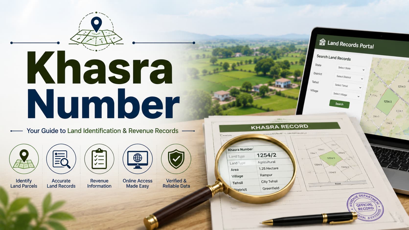
In the process of trying to understand the intricate Indian property and land records system, one will find that there are many different types of numbers and codes that can be used in order to identify a specific property within government systems. The Khasra Number is one of the most important of these numbers since each piece of land is assigned a unique number known as thisNumber. This land identifier is the unique number provided to each piece of land within a revenue block or revenue jurisdiction. The land identifier acts as the unique identifier of the particular piece of land in the records of the revenue department and connects the actual land to its tax, ownership, and historical records of transactions. The land identifier can be thought of as an address of your property in the records of the revenue department—through which your property is identified by the government. The land identifier is not just about identification. Through this land identifier, you have the direct access to comprehensive information of your property in government land records. When you look up the information about your property using its land identifier at the Land Records Online websites, you get access to all information including its ownership details, area measurement, assessment of taxes, and full transfer history. With knowledge of your land identifier, accessing comprehensive information of your property becomes easy. Whether you are looking for property in Sector 12 Gurugram, Raja Nahar Singh Faridabad, or any other part of India, the land identifier will provide you with access to all information of your property. The land identification number system came up in the period of British rule in India in which systematic land surveys were done to create systematic land records and identification of land properties and taxation. The British created revenue blocks and gave serial numbers to each plot of land within the revenue blocks. These serial numbers came to be known as land identification numbers. The land identification number is a revolutionary step in identifying individual land plots as it made it possible to identify individual land plots through a number. There was no systematic numbering before this and land plots were simply described as "the field near the old temple" or "land plot of farmer Ram." This created all sorts of disputes and confusion. The land identification number system is based on hierarchy. The land of India is divided into states, districts, tehsils, villages, and revenue blocks. In a particular revenue block, every plot of land is given an individual land identification number that starts with 1 and continues. If you want to refer to a piece of land in terms of its identity, you generally have to give the name of district, tehsil, village, and land identification number together. One of the most advantageous features of the land identification number is its permanence. After the land is allotted a particular number when the survey was done for the first time, it sticks to that land forever irrespective of the fact whether it is divided into several pieces or joined with others or passes through many owners. It helps you trace all the historical facts regarding your property. The Relationship Between Khasra Number and Jamabandi Records Understanding how Khasra connects with other property documentation systems is essential for comprehensive property research. This Number forms the foundation linking various records together, and particularly connects with Jamabandi Haryana records in Haryana and similar documents in other states. The official revenue record of land ownership and taxation in Haryana is organized by the Number, with each entry corresponding to a specific plot. When you search for a property through Land Records Online, you typically input the Number, which then displays complete ownership and tax information for that particular holding. Similarly, Number forms the basis for organizing records across various states through the Bhulekh (State-wise Guide) system. These state-specific digital implementations are indexed and organized by Number in virtually all regions. When you access online portals to research property information, knowing your Number significantly streamlines the search process. This hierarchical organization means that Number serves as the master key connecting all documentation together. It links textual revenue entries with graphical cadastral maps, connects ownership information with tax history, and enables you to access comprehensive materials through a single numerical reference. To ensure accuracy across all these systems, consult the Land Record Verification guide. Additionally, verify your Khata Certificate & Number details and understand any Mutation of Property after Sale requirements. Without grasping this interconnected structure, navigating India's multi-layered system becomes exponentially more difficult. Having knowledge of how land identification numbers are allotted will allow you to understand what these numbers mean and thus spot mistakes or inconsistencies in the property records. The process of assigning land identification numbers starts during the initial revenue surveys done in a particular village or revenue block, where surveyors methodically record all the individual land plots in the area and assign them sequential land identification numbers – usually starting with number 1 and then continuing with all the subsequent numbers. This process is usually done geographically or administratively; surveyors often start from the north or east of the village and proceed systemically across the whole area. There may be differences in the structure of land identification numbers from one state to another and from one village to another, but the principle is always the same. At times of survey and re-survey of land, there may arise situations where changes may become necessary to the land identification number. If a plot gets subdivided into several plots, then the land identification number may be kept intact for the main plot and land identification numbers are given to the subdivisions. At times of consolidation or merger of plots, only one number takes precedence and others get relegated. In some cases, the structure of the land identification number reflects some information regarding its geographical location. Older, well-established plots have smaller numbers while newer surveys will have bigger numbers. In some revenue blocks, there may be a system of odd/even numbers on one side of the boundary line and even/odd numbers on the other side.. Finding your land identification number requires understanding what information you already possess and how to search existing government records systematically. Locating Land Identification Number Through Land Records Online Portals The most effective way to find out your land identification number is by using the Land Records Online portals of your state or district. These portals enable you to look up your property based on its owner's name, property address, or village address. On looking up your property through Land Records Online, your land identification number will be displayed by the portal. Locating Land Identification Number Through Jamabandi Haryana Records In case of Haryana, the use of Jamabandi Haryana records on official portals enables you to search based on owner's name or property address. Your land identification number is provided in the Jamabandi Haryana records along with other details about ownership and tax. Locating Land Identification Number Through Bhulekh Systems Several states have Bhulekh portals that allow comprehensive search options including search based on owner's name, property address, or in some cases, district and village addresses. On finding your property through Bhulekh, your land identification number is displayed. Using Property Documents The land identification number of your property will usually be found on your property documents, sale deed, and property certificate. In case you are in possession of all these documents, finding your land identification number will be easy as looking at the property identification section in the documents. Using Property Tax Bills Property tax bills, water bill, and electricity bill that is related to your property can mention the land identification number of the property. Your land identification number can be found by looking through any of these documents. Using Revenue Office In case you cannot access the Internet or you don't have enough information for searching, then the best way to find out your land identification number would be visiting your local tehsil office or revenue office. This process will take some time but will give you an accurate result. The land identification number acts as a critical element in property dealings, performing various functions such as verification, documentation, and protection from the legal point of view. Verification of Property In case you are buying any property, make sure you check the land identification number of the seller to be certain that you will buy the property which they claim. Compare the land identification number of the sale deed with the land identification number of the property in current revenue record of Land Records Online. Verification of Ownership You can easily verify the ownership details of your property using the land identification number in Jamabandi Haryana and Bhulekh systems. Title Insurance and Loans While performing research or analyzing title risks, banks and title insurance providers rely on the land identification number. Banks use this number for searching online via Land Records Online portal, which helps to check whether the property is owned, has any liens or mortgages and determine the legal status. The presence of correct land identification number in Jamabandi Haryana helps to receive loans and title insurance. Documentation in Transfer When you are transferring the property, the new sale deed must include the correct land identification number, which will confirm the ownership. Your land identification number must correspond to the sale deed in the revenue department records. Despite being a systematic identification method, land identification numbers occasionally encounter complications requiring resolution. Various Land Identification Numbers for One Property In cases where the property has been divided or consolidated, there could be multiple land identification numbers associated with one property. In case the property is divided amongst various heirs or portions are sold off, each of the resulting property has different land identification numbers. It is crucial to know which land identification number corresponds to your property. Outdated or Superseded Land Identification Numbers In cases where properties have been consolidated, one land identification number will remain while the others will be declared superseded or outdated in the official records. Historical searches may yield land identification numbers which are now superseded and do not correspond to any existing property. It is very important to understand whether the land identification number is superseded or current. Discrepancy Between Records With Respect To Land Identification Number Sometimes there is a difference in the land identification number of a property found in government records. The land identification number mentioned in the sale deed of a property may be different from that found in Jamabandi Haryana or Bhulekh records. Such differences usually signify that there is an error in the documentation that needs to be fixed. Lost or Missing Land Identification Number There might be some historical properties which lack documentation as far as their land identification number is concerned because of destruction or damage to records. Properties in such a situation are going to face problems in getting the complete record online using Land Records Online system. Fraudulent Land Identification Number Mentioned in Sale Deed Sometimes there may be fraudulent sale deed in which the land identification number of the property is wrongly mentioned. Modern digital initiatives have revolutionized access to Khasra No. based records through comprehensive online systems. Land Records Online Portal Access Land Records Online Portals Land Records Online portals are web platforms that help access revenue records available in more than one state. They include searches for land identification numbers and access complete details of the property regarding its ownership, size, tax details, and transactions history. Availability of land identification numbers in the Land Records Online portals ensures easy and immediate access to property records from anywhere. Jamabandi Haryana Digital Integration The digital solution offered by Haryana that provides access to records of Jamabandi Haryana is an innovative step forward in land record digitization. Accessing your land identification number on Jamabandi Haryana portal will give you ownership and tax records without the need for visit to revenue offices. Bhulekh Accessibility State-wise Bhulekh systems available in India are advanced solutions towards land record accessibility via land identification numbers. Mobile Application Access Many states now provide mobile applications allowing land identification number searches through smartphones. These applications enable property research from any location, including while on-site at the property itself. GIS Integration Geographic Information System (GIS) integration is progressively linking land identification numbers with map-based property visualization. These systems display property boundaries, location, and neighboring properties associated with each land identification number, creating comprehensive property profiles. Property tax systems throughout India depend fundamentally on land identification numbers for accurate tax identification and assessment. Tax officials use land identification numbers to maintain property tax records, calculate annual assessments, issue tax bills, and track payment history. Every property tax bill typically references the property's land identification number to ensure payments are credited to the correct property. Without accurate land identification numbers, tax administration becomes chaotic and inefficient. When property is transferred, the land identification number links the previous owner's tax history with the new owner's responsibility. Tax departments use land identification numbers to identify all outstanding dues associated with a property, ensuring new owners understand their inherited tax liabilities. Tax assessments based on land identification numbers also become the foundation for municipal property tax calculations. While municipal taxes are assessed separately from revenue department taxes, the underlying property identification through land identification numbers ensures consistent assessment across different government systems. The land identification number is extremely useful in addressing cases of dispute regarding the demarcation of the boundary and encroachment. If two adjacent parcels of land have conflicting claims about their boundaries, then the revenue department will check the land identification numbers of the two pieces of land and check the Bhu Nakshas for those lands. The land identification number helps in linking the actual land to the records, thereby helping to establish the true boundaries and encroachment. The land identification number is also very helpful in spotting cases of encroachment as inconsistencies in the records will be evident. Modern government portals make land identification number information increasingly accessible through standardized online processes. Search Steps on Internet Most portals such as Land Records Online and Bhulekh have similar search steps: First, choose your state and district using the drop-down menu option. Second, enter the property information such as property owner's name, village name or address of property. Third, click search to fetch results. Fourth, analyze results and find your property with the help of the land identification number. Fifth, click on the selected property for detailed information. Downloading Digital Certificates Several websites provide options to download digital certificates that include land identification number information as well as other details regarding the property. Such digital documents are as valid as the physical certificates that can be obtained from the revenue department. Multiple Searches for Verification For complete verification, carry out searches for your property on different sites such as Land Records Online, Jamabandi Haryana and Bhulekh to verify land identification numbers. Any difference noted while performing this verification will mean an error in the documents. 1. What is the difference between Khasra Number and Khata Number? The land identification number is the number given to the individual plots of land in the revenue block by the revenue department and identifies the property in the revenue records available on Land Records Online, Jamabandi Haryana, and Bhulekh. Khata Number is the number given to the property by the municipal corporation. There can be one land identification number and one Khata Number for the same property. 2. Can a Khasra Number change after property purchase? Land identification numbers typically remain permanent for the land they identify. However, if land is subdivided, consolidated, or if errors are discovered requiring correction, land identification numbers may be reassigned or modified. Such changes are documented officially and you should update your records accordingly. 3. Is Khasra No. the same as property deed number? No—land identification number is the plot identifier assigned by revenue departments, while deed number is assigned by registration authorities when documents are registered. Every sale deed receives a unique deed number, but a single land identification number remains associated with the land regardless of how many deeds are executed for that property. 4. Do all Indian properties have Khasra No.? Land identification numbers exist for all properties that have been surveyed and recorded in revenue department systems. Some extremely old properties or those in areas with incomplete surveys may lack clear land identification number documentation, but the vast majority of Indian properties have assigned land identification numbers. 5. How can I verify if a Khasra Number is valid? Search the land identification number in online services like the Land Records Online, Jamabandi Haryana, and Bhulekh. In case you find property details of the land identification number through the official system, then the land identification number is correct. Otherwise, the land identification number is incorrect or outdated. 6. What happens if my property has multiple Khasra No.? If your property appears under multiple land identification numbers in official records, contact your revenue office to clarify which number represents your current property. Documentation should specify the current, active land identification number for your specific plot. 7. Can I change my property's Khasra Number? Land identification numbers are assigned by government authorities during surveys and typically cannot be arbitrarily changed. However, if errors are identified, you can petition revenue authorities for correction of recorded land identification numbers. 8. Is Khasra Number required for all property transactions? Yes, accurate land identification number documentation is essential for all property transactions. Sale deeds must reference correct land identification numbers, and revenue departments verify these numbers match official records before processing transfers. 9. How does Khasra Number help prevent property fraud? The land identification number allows for the validation of the legitimacy of the property using Land Records Online, Jamabandi Haryana, and Bhulekh databases. Checking the land identification number in the official database will help you to validate the legitimacy of the property that you wish to purchase. 10. Can I access Khasra Number information through mobile applications? Yes, many states provide mobile applications allowing land identification number searches. These applications access the same databases as online portals and provide instant access to property information from anywhere. The land identification number is the fundamental identifier in the land record system in India, which refers to the unique identifier used by the government in their record-keeping to identify individual land pieces. The knowledge of the land identification number, the means to find out the number and use the number to access property details through various online portals such as Land Records Online, Jamabandi Haryana, and Bhulekh, gives you an upper hand in the protection of your rights and making sure that the property transactions are transparent and secured. It is vital to understand that whether you are buying a piece of property in Sector 12 Gurugram or in Raja Nahar Singh Faridabad or anywhere else in India, your first action is to know and check your property's land identification number. You need to document your land identification number, confirm it from different official sources, and make sure that all the property documents are correctly mentioning your land identification number.Khasra Number: Complete Guide to Land Plot Identification
What is Khasra Number and Its Historical Context
How Khasra Number is Assigned and Structured
How to Find and Locate Your Khasra Number
The Critical Role of Khasra Number in Property Transactions
Common Issues and Challenges with Land Identification Number
Khasra Number and Online Property Record Systems
Land Identification Number and Property Taxation
Khasra Number and Boundary Disputes
Accessing Land Identification Number Information Through Government Portals
Frequently Asked Questions About Khasra Number
Conclusion