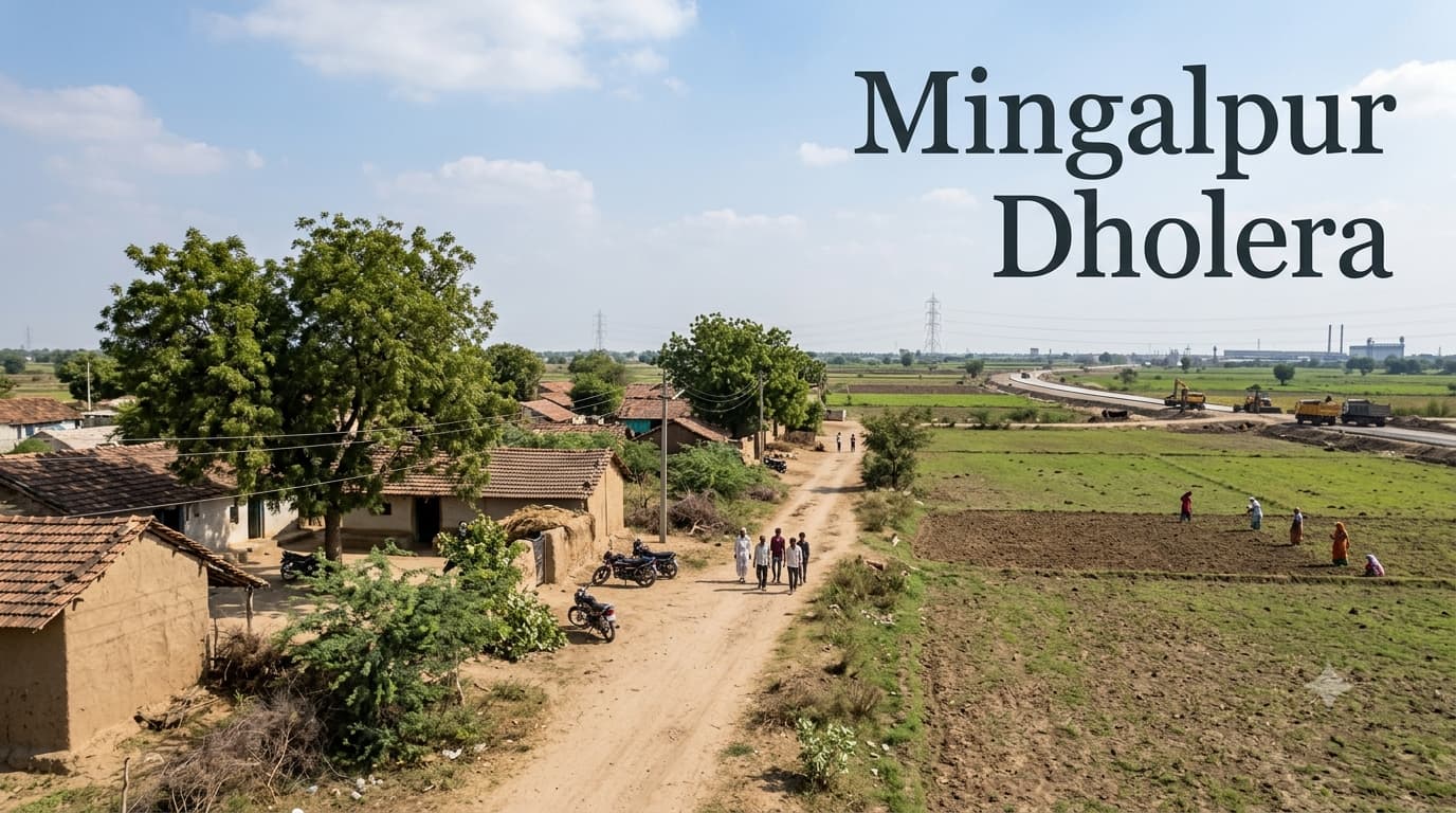
Mingalpur Dholera Planning and Property Research
Mingalpur is a rural village in the region of Dholera in the Ahmedabad district, Gujarat and is also one of the localities that are involved in the regional planning process of shaping the region. Mingalpur Dholera presents an interesting case for any researcher interested in land opportunities in Gujarat, as its current village setting comes together with the regional planning framework of Dholera SIR. Therefore, the place needs to be analyzed on the basis of its regional location, the features of the land and planning provisions, and not just according to marketing slogans.
Understanding the Regional Setting
Mingalpur is a part of Dholera taluka and lies in a countryside that consists of agricultural lands and permanent settlements. The size of Mingalpur is estimated to be around 33.08 sq. km., and it has its own village and revenue record. Moreover, it is located near to some other villages in the Dholera area such as Zankhi, Bhangadh, Bavaliyari and Mahadevpura.
However, what really adds value to the location is its link to Dholera SIR, and not the degree of urbanization of the particular village. In Dholera, a big development zone is being created, hence, the infrastructure and land use must be taken into account on a regional level. It doesn’t imply, however, that each plot in Mingalpur has a similar development status. The buyer must clarify all the necessary details concerning survey number, land use, access and so on.
Locality Snapshot
The village has a considerable geographical area when compared to some other villages in Dholera SIR, which is the main reason why there is an importance of studying a location. The property located in one area of the village will have very different access levels when compared to another property in the same village. It is advisable not to depend upon the name of the village in terms of its development capabilities.
Nearby Localities with Distance
The distances below are approximate regional references and should not be interpreted as exact road distances from every property in Mingalpur.
Major Connectivity Points with Distance
What the Planning Context Means for Property Research
Being within the Dholera SIR framework does not automatically make every parcel suitable for residential or commercial development.
The applicable planning position should be checked against the property's exact survey details.
Land classification and permitted use can be more important than the broad location label used in advertisements.
Road access should be verified physically and through relevant records rather than assumed from an online map.
Future infrastructure should be treated as a development consideration, not as a guaranteed increase in land value.
Development Factors to Watch
Progress of infrastructure across the wider Dholera development region.
Expansion of industrial and economic activity within designated development areas.
Improvements in regional road connectivity.
Development around strategic infrastructure and the wider airport ecosystem.
Changes in planning provisions affecting surrounding land.
Actual demand for residential and commercial property as development progresses.
The differentiation between the two types of infrastructures is particularly significant when it comes to an emerging area. While the development plan may point out the future direction, its implementation is not always immediate and can have different impacts on various places. This means that those interested in buying property within the dholera smart city gujarat should focus not only on the marketing but also on the actual state of affairs regarding the infrastructures.
Land and Property Assessment
Mingalpur could be considered a relevant subject of study for multiple categories of property investigations, but different approaches would be needed in different cases. The investigation of agricultural land will require one to look into the aspects of title, classification, access and restrictions. In case of residential property expectations, there should be added the question of development and infrastructure permits. For commercial and industrial purposes, the investigation needs to look deeper into the matter of land use and planning.
In case of a buyer's comparison of Dholera Residential Projects in Gujarat, it is also important to consider whether it is a residential project or an undeveloped land plot. There may be differences in ownership, infrastructure status and purpose in case of buying a land plot. Thus, a pure price comparison may not be complete enough.
A Practical Buyer Research Framework
Start with the exact survey number and ownership details.
Verify the seller's legal title and identify any recorded encumbrances.
Confirm the current land classification and permitted use.
Check the relevant planning framework applicable to the parcel.
Establish whether legal road access exists.
Verify whether conversion or development permission is required.
Compare the property's actual location with surrounding infrastructure.
Check whether advertised development claims relate to the specific parcel or only to the wider Dholera region.
Obtain independent legal advice before completing a significant land transaction.
Why Plot Price Alone Can Mislead
Searching for dholera smart city plot price is a natural step that people take when looking to get an initial feel of the market but price is just not enough to describe the value of a plot of land within a big planning area. Two plots will differ in their level of accessibility, land use, development and planning status even though they may both be called Dholera plots. A low price might be as a result of some constraints that cannot be seen in an advert whereas a high price might be determined by some attributes like accessibility.
Questions Buyers Should Ask Before Proceeding
Is Mingalpur part of Dholera SIR?
Yes. Mingalpur is included among the villages forming the Dholera Special Investment Region. Its inclusion provides the regional planning context, but the exact status of an individual property still requires separate verification.
What is the present character of the area?
Mingalpur remains a rural settlement with agricultural land and village infrastructure. Its association with Dholera SIR means that it should also be viewed in the context of wider planned development.
How far is Mingalpur from Ahmedabad?
Available village references place Ahmedabad at approximately 130 km from Mingalpur, although the practical distance can vary according to the route and exact property location.
Is land in Mingalpur automatically suitable for development?
No. Dholera SIR association does not by itself establish the permitted use of an individual parcel. Buyers should verify land classification, planning provisions, title and access before purchase.
Should I compare land with residential projects?
If the objective is property investment, comparison can be useful, but undeveloped land and residential projects have different risk, usage and development characteristics. They should be evaluated on comparable criteria rather than price alone.
What is the most important property check?
There is no single check that is sufficient. Ownership, title, land classification, access, planning status and permitted use should be reviewed together before a transaction.
Conclusion
The significance of Mingalpur in the broader context of the Dholera region is based on the fact that it has a rural set up along with a wider planned development framework. Being part of the Dholera SIR does make the planning and infrastructure of the region important, but it cannot replace the process of examining each particular plot. The buyers must assess the precise plot, check the legality and planning of it, and separate the existing infrastructures from the future plans. For those searching for land, residences, and other properties in the Dholera region, the website Prooperty.com can serve as the first step.