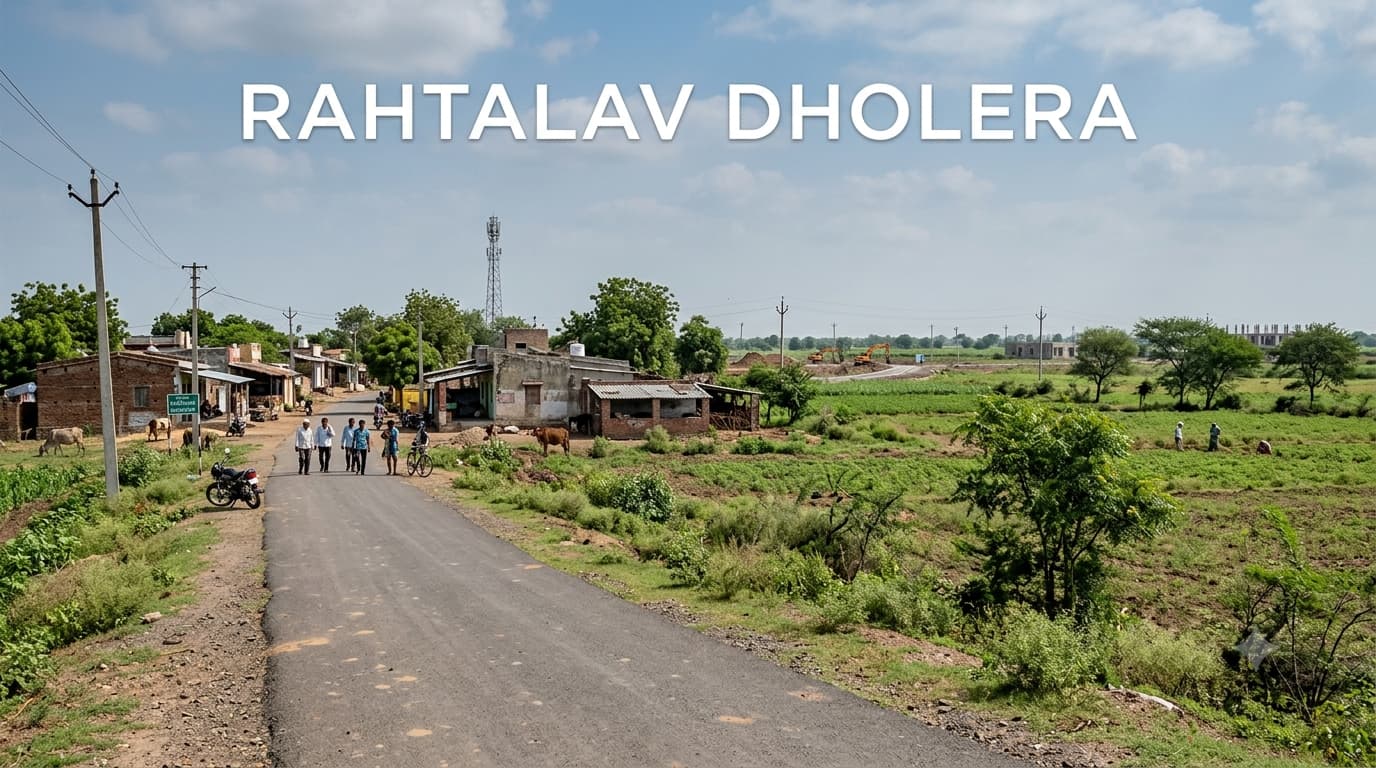
Rahtalav Village Dholera Development
Dholera SIR is a vast planned development region where individual revenue villages continue to remain significant while dealing with land, infrastructure, and development planning. Rahtalav Village Dholera is one of the notified villages in this regional setup and occupies a larger geographic area than many other villages in the SIR. Due to its proximity to other significant villages as well as to the overall activation area, it becomes pertinent for those individuals who are interested in researching land and property in Dholera. But it should be considered from the point of view of the particular planning status and Ahmedabad Dholera Expressway connectivity of the village.
A Large Village in the Context of the Dholera Framework
Rahtalav Village is one of the notified villages number 14 in the 2009 notification of Dholera Special Investment Region. Notified area of the village was estimated at approximately 63.4464 sq km and consisted of 336 survey numbers according to the original schedule. It was associated with Dhandhuka taluka in Ahmedabad district and retains rural character in the framework of the planned regional development. Large area of the village ensures the fact that Rahtalav parcels can have totally different environments depending on their survey numbers.
Rahtalav Locality Snapshot
The Village in Relation to Its Surroundings
An effective approach to studying the village of Rahtalav is that of taking a look at the villages surrounding it rather than studying in isolation. Two villages that fall within the vicinity include Khun and Bhimtalav, while the other two villages situated south of it are those of Mahadevpura and Mundi towards its western side. Even the village of Dholera is fairly close to Rahtalav. The surrounding landscape is made up of rural areas and those areas which are influenced by the overall Dholera plan.
Nearby Localities with Distance
Connectivity Reference Points
Connectivity in Rahtalav can be analyzed from two perspectives: regional connectivity and property-specific connectivity. It is true that regional connectivity can link with Dholera and other settlements nearby, but being close to a main road does not always imply that the property has road connectivity. Moreover, since the development of Dholera is based on connectivity via larger infrastructure corridors, connectivity becomes an important factor for land analysis. But while conducting an analysis for the buyer, it is vital to assess the road connection of the property itself, because of a possible misjudgment of regional connectivity by each property.
What the Planning Context Means
Rahtalav becomes especially significant from the point of view of planning since it has been linked to TP 2A which is just the initial planning plan and is within the larger context of Dholera activation area. It doesn’t mean that all the village is developed under similar conditions. The town planning system could influence the certain parts of the village differently, and the land could be zoned or reserved, etc. So the existence of the TP system should be considered as a hint for deeper research, but not as a guarantee of the residential development.
Planning Factors to Examine
Identify whether the specific survey number falls within an applicable town-planning area.
Check the relevant zoning designation for the parcel.
Confirm whether a final plot number has been assigned where applicable.
Examine planned roads, reservations and other infrastructure affecting the land.
Verify whether the land is agricultural, residential, commercial or designated for another use.
Check applicable permissions before assuming that construction is possible.
Compare the physical parcel with official planning maps and revenue records.
Property Due-Diligence Checklist
Anyone considering land should verify the following before moving toward a transaction:
Match the survey number with the seller's ownership documents.
Verify the complete title history.
Confirm the current owner through appropriate revenue records.
Check the land classification and permitted use.
Establish whether the parcel falls under an applicable TP scheme.
Verify the actual road access and right of way.
Check for government reservations, acquisition proposals or infrastructure requirements.
Confirm applicable development permissions and conversion status.
Compare the property location with the relevant planning map.
Obtain independent legal advice before signing binding documents.
Rahtalav and Residential Property Research
The searches for Dholera Residential Projects in Gujarat can yield many different kinds of products, from plotted projects to residential land and properties available on the promise of future developments in Dholera. Rahtalav must not be taken to be a standard residential sector just because it is within Dholera SIR. First and foremost, buyers need to make sure that they are purchasing something that has all the required permissions in place. An agricultural plot cannot be considered to be a same product as a developed plot.
Understanding Dholera Development Scenario
The overall plan for the dholera smart city gujarat development involves infrastructure, industry and urban development within the Dholera area. It would be correct to say that is a part of the overall planning scenario but not all the survey numbers within the Dholera area are going to see development at the same time. The existing conditions of villages can continue to persist even when the infrastructure is being developed.
How to Approach Plot Prices
A search by using Dholera smart city plot price can be somewhat confusing if the buyer does not specify the name of the village and the type of land being sold. The prices might vary depending on whether it is agricultural land or some other form of property, whether it has road connection, good land title, and other factors such as its zoning, distance from the infrastructure developments, and so forth. It is possible that even in Rahtalav, the same plot price can be different from the other because of the dissimilarities between the two properties. The government sources can provide a useful guide in valuation of land, but they must not be mistaken for the present market prices. The buyers need to compare similar properties rather than use one advertised price as the standard. The valuation rate in case of Rahtalav depends on the category of the land and road connection as well.
Frequently Asked Questions
Is Rahtalav part of Dholera SIR?
Yes. Rahtalav was included among the 22 villages notified as part of the Dholera Special Investment Region.
What is the area of Rahtalav?
The 2009 SIR notification recorded approximately 63.4464 square kilometres for the village.
How many survey numbers were recorded for Rahtalav?
The original 2009 schedule recorded 336 survey numbers.
Which villages are near Rahtalav?
Mahadevpura, Khun, Bhimtalav, Mundi, Dholera and Bhangadh are among the nearby villages and locations.
Is Rahtalav suitable for residential property?
The answer depends on the individual parcel. Buyers should verify land classification, zoning, planning status and development permissions rather than assuming that all land in the village can be used for residential construction.
Is the village connected to the Dholera development area?
Yes, the village forms part of the wider Dholera SIR planning framework and has a planning relationship with the activation-area development context. Exact benefits and restrictions depend on the parcel.
What should I check before buying land in the village?
Ownership, title history, survey number, land classification, road access, applicable TP scheme, zoning, reservations and development permissions should be checked before purchase.
Is the Dholera plot price the same across the village?
No. Property values can vary according to location, land category, access, planning status and other parcel-specific factors. A single Dholera-wide rate should not be used to evaluate every property.
Conclusion
Rahtalav is a key village within the Dholera SIR region due to its significant size as well as the existence of its revenue identity in connection to the overall framework of the planned development. Being close to Dholera, other villages, and the activation area zone makes it appropriate for real estate research; however, such criteria should not be used instead of parcel-by-parcel verification. Potential buyers interested in purchasing land in the area should consider survey details, zoning requirements, access opportunities, town-planning issues and the question of ownership before thinking about price and further plans. The general dholera smart city gujarat concept can serve as useful background information; however, the individual worth and usefulness of a property depends on the peculiarities of its legal and physical nature.