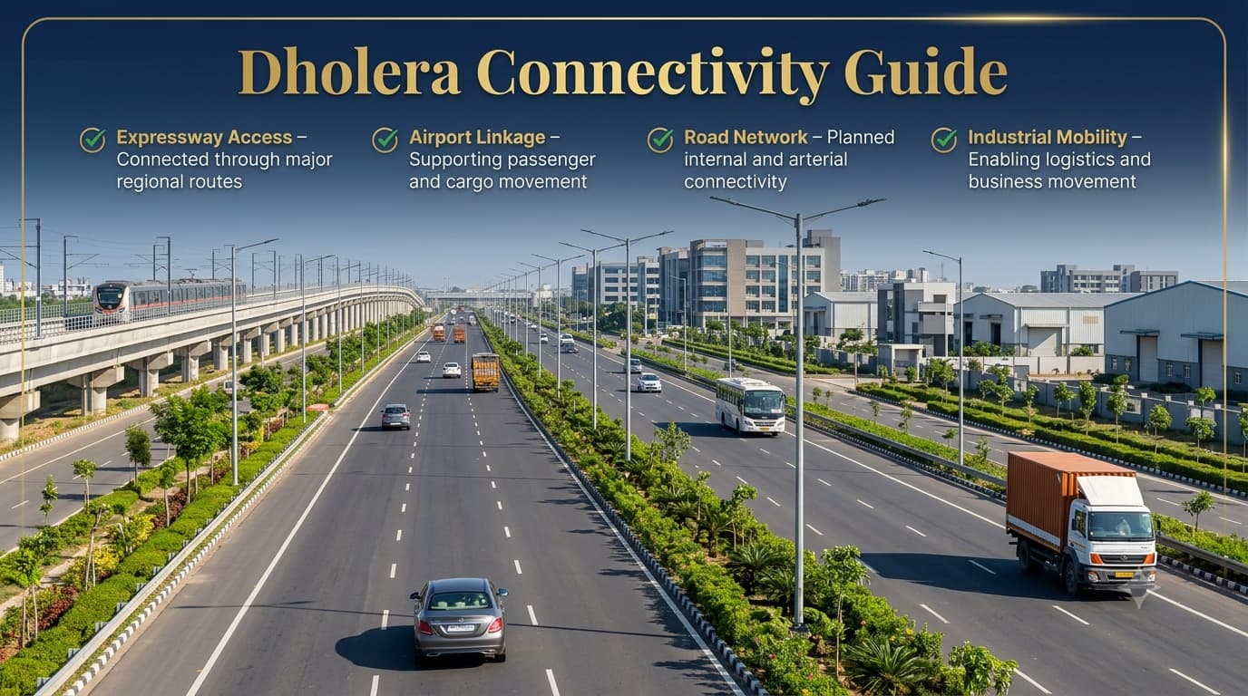
Dholera Connectivity Guide
Connectivity is one of the most crucial foundations for the vision of Dholera Smart City and Dholera Special Investment Region (SIR). A planned city not only needs good infrastructure but also strong connectivity that makes it possible for industries, businesses, logistics, and the community to have efficient interaction with other economic centers in the region. Dholera's connectivity plan takes into account this principle and includes connectivity via highways, expressways, airports, roads inside the city, and logistics connectivity. The goal is to provide a transport ecosystem for current infrastructure needs as well as future economic development.
Organic cities have transportation networks that are built after city development, but Dholera follows a different planned mobility policy in which connectivity corridors have become an integral part of the development structure of the city. Highways connecting Dholera with other cities, including Ahmedabad, have been planned with an aim to make it convenient for industries, business and daily mobility. Those who wish to learn about how these transport networks will be connected with the overall planning strategy of the city can also refer to Dholera Master Plan & TP Schemes Guide.
Why Connectivity Matters for Dholera
The relevance of connectivity in Dholera can be understood through its function as a planned destination for industrial as well as urban development in Gujarat. The transport system plays an important role in connecting the industries, logistics, business areas, and planned future residential zones to the regional and national markets. Accessibility of goods and people is a necessity for developing the industrial ecosystem, where logistics and movements of workforces become important. The connectivity plan for Dholera includes developing multiple levels of movement systems instead of developing a single system of transport. The various movement levels include regional highway, expressway, airport connectivity, internal road network, and infrastructural corridors.
Geographic Position of Dholera
Dholera city is located in the Ahmedabad district of Gujarat and is a part of the Dholera Special Investment Region. The placement of the area has allowed it to be strategically placed close to some economically significant regions of Gujarat while at the same time remaining near Ahmedabad which is one of the major commercial cities of Gujarat. The location of the region has greatly helped in choosing the area for developing it as a part of the Delhi-Mumbai Industrial Corridor (DMIC).
The connectivity value of Dholera region is not only due to its distance from other economically significant regions and major cities but goes much further and aims at creating a network that will ensure industries access to markets, suppliers, ports, airport and logistics.
Overview of Regional Connectivity
The regional connectivity system of Dholera region includes several transportation connections connecting this region with other destinations.
This multi-layered connectivity structure is designed to support the long-term growth of Dholera by creating efficient movement channels between industries, infrastructure facilities, and surrounding regions.
Road Connectivity Network of Dholera
Roads are one of the key elements in the Dholera connectivity strategy since they facilitate movement at the regional level as well as internally. The hierarchy of roads allows for the execution of particular functions of the highways, arterials, and internal roads without causing any congestion. This will help separate high-speed regional movements from other movements, improving the connectivity among industries, commerce, and urban areas.
The strategy of the road planning is in line with the general development framework of Dholera SIR, where the corridors of transport are planned along with the land use. It is important because the connection affects the efficiency of movement in the region. Those readers interested in the interconnection between road hierarchy and TP Schemes and land use planning may refer to the Dholera Master Plan & TP Schemes Guide.
Ahmedabad–Dholera Expressway (NH-751)
The Ahmedabad-Dholera Expressway stands out as one of the most significant connectivity projects that have been linked to the development of Dholera. The expressway is meant to enhance mobility from Ahmedabad to Dholera, while also boosting regional connectivity for industries, companies, and logistics services. In terms of Dholera’s development as an industrial and smart city destination, this particular project becomes significant in terms of enhancing connectivity from one of the major commercial hubs in Gujarat.
The expressway will be used for a variety of movements including industrial movement, business trips, and passenger connections. In case of the industries located in Dholera, road connectivity is crucial when it comes to managing the supply chain, moving of raw materials, finished goods, and market connectivity.
SH-6 Central Spine Connectivity
The SH-6 corridor is an essential connectivity corridor in the overall Dholera region. It is a part of the movement system that facilitates connectivity among various regions and makes them accessible within the Special Investment Region. As Dholera grows into an urban settlement, the regional roads make way for connecting the smaller regions with larger transport networks. The concept of central spine is indicative of the need for organized movements within urban planning. As opposed to haphazard road development, Dholera operates within a hierarchy in which traffic is dispersed through larger routes.
Internal Road Hierarchy
One of the unique aspects of Dholera's transportation planning is its road hierarchy system. Unlike conventional cities where roads often develop based on existing settlements, Dholera's internal road network has been planned according to future development requirements. Different road widths are assigned specific roles, creating a structured movement system across the city.
The officially planned road hierarchy includes:
This layered road structure helps create a balanced transportation system where major traffic flows efficiently while local movement remains convenient. It also supports the separation of industrial logistics traffic and everyday urban transportation.
Industrial Logistics Connectivity
The road connectivity at the new industrial hub Dholera goes beyond merely serving the needs of the commuters. For the industries to be able to perform their duties effectively, there must be a transport system that will ensure materials are brought to the factory and the products taken out.
Industrial logistics connectivity supports:
Movement of heavy vehicles
Access to manufacturing zones
Connection with supply chain networks
Transportation of industrial goods
Linkage with regional markets
The combination of expressways, arterial roads, and internal corridors creates a framework designed to support both industrial efficiency and urban accessibility.
Connectivity Through Planned Infrastructure Corridors
Dholera's transportation network is closely connected with its overall urban planning approach. Roads are not developed separately; they form part of a larger infrastructure ecosystem that includes utility corridors, development zones, and future urban areas. This integrated approach helps ensure that transportation infrastructure remains adaptable as the city expands.
The planned connectivity model focuses on creating smooth movement between:
Industrial zones
Commercial districts
Residential areas
Airport infrastructure
Regional highways
Logistics facilities
This approach strengthens Dholera's position as a planned city where mobility infrastructure supports economic growth, urban convenience, and long-term development objectives.
Airport Connectivity and Aviation Infrastructure
Airport connectivity is expected to be a crucial part of the overall transportation system in Dholera as it will facilitate passenger transport as well as logistics and business activities. The proposed Dholera International Airport can be seen as an important strategic asset which will enhance the connectivity and give another mode of transportation to the industries and businesses located in the Special Investment Region.
Moreover, the significance of the airport cannot be seen only in passenger transport as the industrial ecosystem requires efficient shipment of specialised cargo and components. Together with the road transportation and planned logistics systems, the airport can help create a better connected business environment. Furthermore, the significance of air connectivity also fits into the overall strategy of the smart city with the interconnected transportation systems.
Port Connectivity and Logistics Advantage
The advantage of connectivity for Dholera is bolstered by its association with the already existing maritime environment in Gujarat. Gujarat boasts several ports that play an integral role in carrying out industrial trades within the western parts of the country. Port facilities can be advantageous for manufacturing regions as there may be a need to transport goods both into and out of factories. It can be beneficial to businesses based in Dholera to integrate themselves within such connectivity plans that link production sites with major transport routes.
This multi-modal connectivity approach is one of the key factors supporting Dholera's long-term economic positioning.
Rail Connectivity Perspective
Railway connectivity is a key component of India's industrial and logistics infrastructure as it facilitates the movement of bulk materials through longer distances. Even though railway connectivity for Dholera has not been a major priority as it relates to roadways, expressways, and airports, transport connectivity for the future will take into consideration the possibility of being integrated into regional logistics networks. There are potential benefits that come with rail connectivity for industrial areas such as bulk capacity, logistics strain relief from the roads, and improved efficiency of logistics operations.
Public Transport and Internal Mobility
A successful planned city requires efficient movement not only between cities but also within the development area itself. Dholera's internal mobility framework is designed around organised road networks that connect different land-use zones, including industrial areas, commercial districts, and planned residential zones.
The focus of internal mobility planning includes:
Smooth movement between development zones
Better accessibility to public facilities
Organised traffic circulation
Reduced dependency on unplanned routes
Support for future urban expansion
Unlike older urban areas where transportation challenges often emerge due to limited road planning, Dholera has the advantage of designing mobility systems alongside city development. This allows transportation infrastructure to be aligned with future population growth and economic activity.
Travel Connectivity Overview
Understanding travel connections helps explain how Dholera integrates with surrounding economic centres. The exact travel duration can vary depending on route conditions, traffic, and infrastructure completion stages, but the connectivity framework is designed to improve accessibility across major destinations.
This connectivity network supports Dholera's role as an emerging destination where industrial operations, business activities, and urban development can function within a connected regional framework.
Role of Connectivity in Dholera's Growth
Connectivity is not just about transportation, but it serves as a base for both economic and urban development as well. When choosing a location, industries analyze accessibility, logistics, and transportation links, which makes transportation facilities extremely important for the area and therefore attracts investments into the region. The system of connectivity in Dholera is set up in such a way that it takes into account all the needs of future investors and companies. It is also important to mention the link between connectivity and urban planning because transportation facilities affect the development of particular regions. Village areas, TP schemes, industrial area and urban areas of Dholera SIR are linked through this system. Those readers who wish to learn more about these geographical divisions may consult Dholera Villages Guide as there are 22 officially recognized villages forming the basis of the region.
Key Benefits of Dholera Connectivity
The planned transportation ecosystem provides several advantages that contribute to Dholera's position as an emerging industrial and urban development destination.
These advantages highlight how connectivity functions as a supporting pillar for Dholera's wider development strategy rather than existing as an independent infrastructure component.
Understanding Dholera Connectivity Before Planning a Visit or Investment
Dholera's transportation network is different from mature cities where people identify locations through famous roads, sectors, or established neighbourhoods. Since Dholera is a planned Special Investment Region, location understanding requires awareness of TP Schemes, villages, development zones, and infrastructure corridors.
Before analysing any location within Dholera, it is useful to understand:
Which TP Scheme the location belongs to
Which village boundary covers the area
Nearby road hierarchy and connectivity routes
Distance from major infrastructure projects
Planned land-use category
This approach provides a more accurate understanding of accessibility compared with relying only on project names or marketing locations. The relationship between villages and planning areas is explained in detail in the Dholera Villages Guide, while the broader planning framework is covered in the Dholera TP Schemes Guide.
Common Misunderstandings About Dholera Connectivity
As interest in Dholera continues to increase, several assumptions about connectivity are commonly discussed. Understanding the actual planning framework helps create a clearer picture of the region's infrastructure development.
Conclusion
Connectivity in Dholera provides insight into the significance of transport infrastructure in forming the backbone of this proposed Special Investment Region. Right from Ahmedabad-Dholera Expressway to road infrastructure hierarchy within Dholera, airport infrastructure to logistics, each form of connectivity plays an important part in forming an organized mobility system. In contrast to organic cities where mobility systems develop over time, in Dholera, mobility systems are being planned along with other elements like land use, industry, and infrastructure keeping future demands in mind. Understanding all these forms of connectivity, Prooperty.com will help readers understand the overall developmental prospects of this region rather than looking at each transport route individually.
Frequently Asked Questions
What is the main connectivity advantage of Dholera?
The main connectivity advantage of Dholera is its planned multi-layered transportation network, including expressways, regional roads, airport infrastructure, and internal road systems.
How is Dholera connected with Ahmedabad?
Dholera is connected with Ahmedabad through the Ahmedabad–Dholera Expressway (NH-751), which is one of the important regional connectivity routes.
Why is road connectivity important for Dholera?
Road connectivity is important because it supports industrial logistics, business movement, transportation of goods, and future urban accessibility.
Does Dholera have airport connectivity?
Yes, Dholera has planned airport infrastructure that is expected to support passenger movement and cargo connectivity.
Is Dholera connected to port networks?
Dholera benefits from Gujarat's maritime ecosystem and connectivity with port infrastructure through regional transportation networks.
What are the major roads planned in Dholera?
The planned road hierarchy includes 70 metre, 55 metre, 45 metre, 36 metre, 30 metre, and 24 metre roads designed for different movement requirements.
Is Dholera connectivity useful only for industries?
No, connectivity supports industries, businesses, future residents, commercial activities, logistics operations, and public services.
How does connectivity relate to Dholera TP Schemes?
Road networks are planned as part of the overall development framework, and their relationship with TP Schemes helps organise land use and infrastructure planning.
How can someone understand connectivity of a specific Dholera location?
A location should be evaluated through its TP Scheme, village boundary, nearby roads, infrastructure projects, and planned development zone.
Where can I find more information about Dholera development?
Readers can explore detailed guides on Dholera planning, infrastructure, and regional development through Prooperty.com.