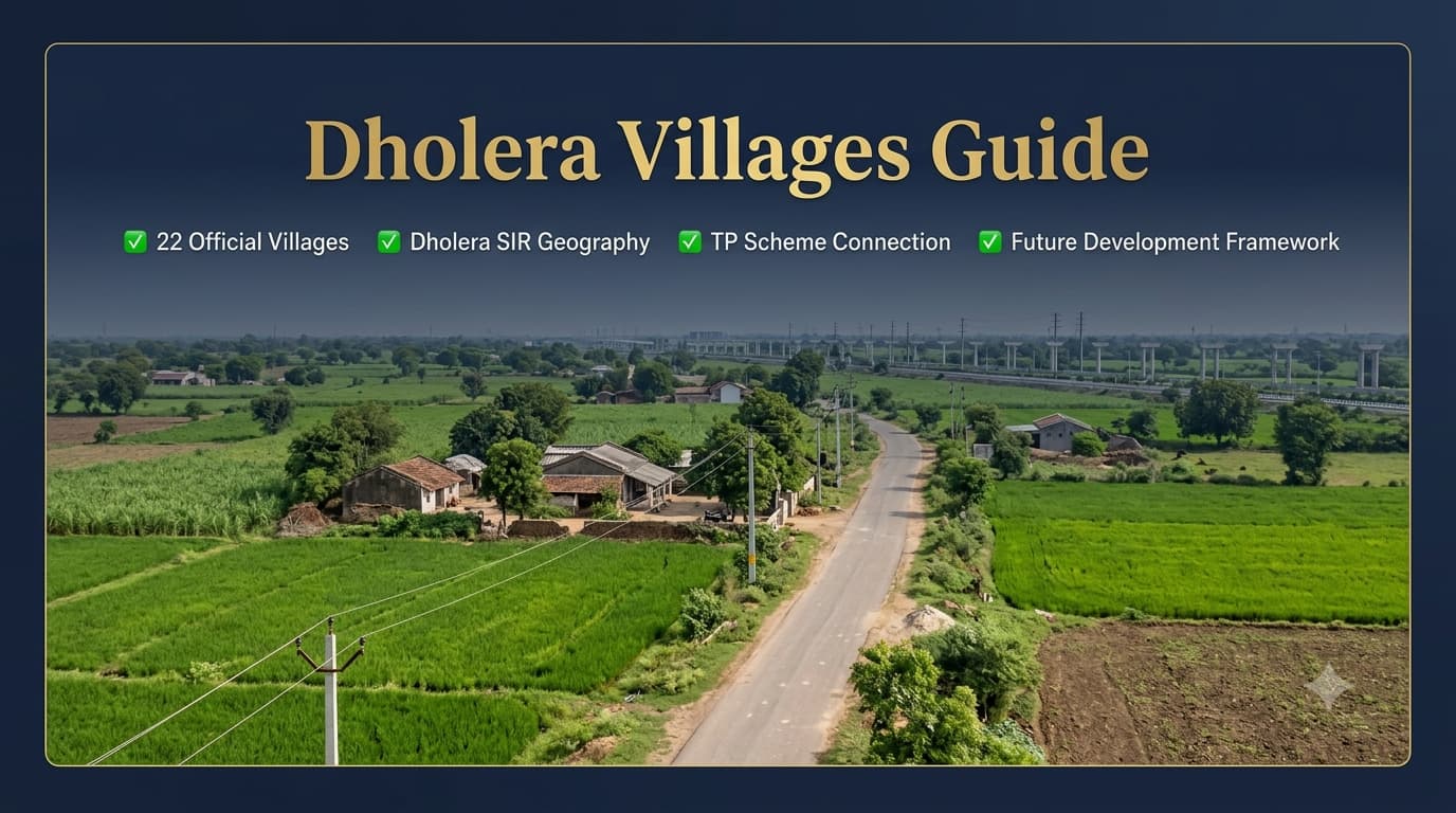
Knowledge about the villages in Dholera is very important for someone wishing to understand the geographical and administrative base of the Dholera SIR. Whereas most cities tend to identify locations using sectors, colonies, and names of neighbourhoods, the geographical planning structure of Dholera is different in the sense that it identifies the locations using the villages, Town Planning (TP) schemes, final plot numbers, survey numbers, and land use type. It is not just the name of the village but rather an understanding of its use in planning and administration that makes one able to understand the structure in question. Knowledge about the villages in Dholera will help one understand the official documents better and save from confusion caused by unofficial locality names used in property advertisements. One may learn more about the connection between these villages and the planning system used in the city from the Dholera TP Schemes Guide. The Dholera Special Investment Region is being established as a Greenfield region. In such a planning approach, the role of villages is significant since they demarcate the geographical limits within which various kinds of development are undertaken. The villages lying within the Dholera SIR form the base geography for: Town Planning Schemes Classification of land use Planning of infrastructure Development of road network Identification of development zones Administrative mapping Thus, knowledge of villages is distinct from the usual city localities studies. The name of a village cannot be considered sufficient to understand the development stage of an area since different parts of the same village could belong to different plans, TP Schemes, or phases of development. The Dholera Special Investment Region covers a large planned area under Gujarat's industrial and urban development framework. The region is governed through dedicated planning and implementation agencies responsible for coordinating infrastructure, land planning, and development activities. These villages collectively create the geographical foundation of the Special Investment Region and support the preparation of different planning documents. The Dholera Special Investment Region includes 22 officially recognised villages. These villages represent the administrative geography from which TP Schemes and development planning are prepared. Each village has its own geographical identity, and their contribution to development planning varies depending on location, TP Scheme coverage, and land-use classification. Among the many aspects of Dholera that need to be considered, one that needs to be kept in mind is the fact that the villages here cannot be considered on the same basis as established cities and neighborhoods. In matured cities, there is a general tendency among individuals to seek out locations on the basis of sectors, colonies, blocks or areas. In the case of Dholera, the planning system uses a different approach to determine locations. The understanding of the location, on an official planning basis is usually based on: Name of Village TP Scheme Number Final Plot (FP) Number Survey Number Land Use Zone Villages in the Dholera SIR play an important part in the formation of Town Planning (TP) schemes since the latter are formed based on the existing geographical boundaries of the former. Unlike conventional city planning that involves the creation of sectors as primary identification units, in the case of Dholera, villages form the base layer of planning in an organized manner. Each TP scheme consists of rearranged parcels of lands into a plan for infrastructure and different land use zones. It is important to understand the relationship between the villages and the schemes because a particular village can be the source of land for several planning areas, whereas a single TP can consist of lands of several villages. Hence, knowledge of only the village name will not be enough to give the complete idea regarding development and availability of infrastructures in that area. For more information on the division of planning areas, one can also refer to the 'Dholera Master Plan & TP Schemes Guide'. In a large planned region like Dholera SIR, village boundaries act as the initial geographical reference for preparing development strategies. These boundaries help authorities organise land records, identify planning areas, and coordinate infrastructure development across different phases. Roads, utilities, industrial zones, residential areas, and commercial districts are planned by considering the existing geographical structure of these villages. The relationship between villages and development planning can be understood through the following framework: This structure ensures that large-scale development takes place in an organised manner while maintaining clarity in administrative and land-related records. The development process at Dholera is following different phases, with the emphasis on infrastructure in particular areas. Some of the villages are more connected with the development areas as their land contribution becomes part of the development areas within the TP Scheme. The village contribution becomes an essential point for understanding why some villages get more consideration than others in terms of development. Nevertheless, it is essential to know that not all areas of the village included in the Dholera SIR have the development status. TP Scheme 1 includes contributions from multiple villages, with Ambli forming the major share of the planned area. The scheme demonstrates how village boundaries are reorganised into a structured development framework. Total TP Area: Approximately 51.4 sq km The contribution pattern shows that TP Schemes are not always limited to a single village. Instead, multiple villages can collectively form a planned development area based on infrastructure requirements and land planning objectives. TP Scheme 2 covers a wider geographical area and includes contributions from several villages. Dholera village forms the largest contribution, while other villages provide additional land parcels that become part of the overall planning structure. Total TP Area: Approximately 102.34 sq km This example highlights how Dholera's planning system combines different village areas to create larger development zones rather than treating each village as an independent urban unit. As interest in Dholera increases, village names are frequently used in property-related discussions, project listings, and location descriptions. However, these names should be interpreted carefully because they represent geographical areas rather than fully developed urban localities. A village mentioned in a project description may indicate: The broader geographical area Nearby land parcels Administrative boundary TP Scheme association Development influence zone It does not necessarily indicate the availability of complete urban infrastructure, established neighbourhood facilities, or a developed residential environment similar to mature cities. One of the biggest differences between Dholera and established urban markets is the method used to identify locations. In cities such as Ahmedabad, Delhi, or Noida, people commonly search through sectors, societies, and localities. Dholera requires a more technical approach because planning records follow official administrative references. This difference is important for anyone researching land, infrastructure, or development opportunities in Dholera. Proper understanding of official identifiers provides a clearer picture of location status and planning position. The villages that form part of Dholera Smart City Plot are not outside the scope of future plans of the city but rather serve as the basis for building the future development plans framework. As infrastructure develops further and various zones come into operation, the village areas will remain very important for the development pattern formation process. Knowledge about the geography of villages is important for readers who want to learn more about the connection between various development aspects of Dholera, such as TP Schemes, road networks, industrial zones, and urban areas being built. Readers who want to study transportation infrastructure connecting villages and development zones can refer to the Dholera Connectivity Guide. Villages located in Dholera SIR can be seen as the geographical base for various types of future development which may include residential, industrial, commercial, and institutional developments. But readers should remember that these villages are not formally recognized as separate residential settlements such as sectors and colonies of existing cities. In fact, development in Dholera SIR takes place through land use zones, TP Schemes, infrastructure planning, and development projects. Some villages might be given more prominence due to their strategic location or infrastructure connectivity. But the potential for development of any village depends upon several other factors such as its TP location, infrastructure around the village, land use, and further development stages. It would be more appropriate for readers to check planning references rather than simply looking at the name of the village. In property discussions, certain village names within Dholera are frequently mentioned because of their association with planned residential or mixed-use development activities. These names generally represent geographical areas where projects may be promoted rather than officially notified residential neighbourhoods. It is essential to distinguish between a village location and an officially developed residential area. A village boundary may contain different land-use categories, including areas reserved for infrastructure, industrial activities, utilities, or future development. Dholera's development vision is strongly connected with industrial growth, and several villages form part of the larger geographical area supporting this economic ecosystem. The industrial planning approach focuses on creating dedicated zones where manufacturing, technology, logistics, and supporting industries can operate through organised infrastructure. The relationship between villages and industrial development can be understood through: Land availability for planned industrial zones Proximity to transportation corridors Access to utility infrastructure Connection with TP Scheme planning Integration with logistics networks The industrial ecosystem planned within Dholera includes sectors such as: Village boundaries provide the geographical base, while industrial zones are determined through official planning documents and land-use classifications. Commercial development within Dholera is planned through designated business areas, mixed-use zones, and city-level facilities rather than through traditional market streets attached to villages. As the city develops, commercial activities are expected to support industries, residents, visitors, and service requirements. The connection between villages and commercial growth depends on: Nearby road infrastructure Planned development zones Population growth Industrial activity Accessibility to major corridors Villages located near important transportation routes may experience greater development influence over time, but their future role depends on approved planning frameworks rather than location perception alone. One of the most important aspects of understanding Dholera villages is learning how official location identification works. Since Dholera does not follow a conventional sector-based system, accurate identification requires reviewing multiple planning references together. A proper location analysis generally includes: This approach provides a more reliable understanding than using only a village name. For example, two different parcels within the same village may have completely different planning status depending on their TP Scheme, land-use category, and infrastructure availability. The relationship between villages, TP Schemes, and Final Plot numbers is one of the most important concepts in Dholera's planning structure. Villages provide the original geographical framework, TP organise development planning, and Final Plot numbers identify specific planned land parcels. This relationship can be understood as: Village → TP Scheme → Final Plot Number → Land-use Category Each level provides additional detail about a location. This layered identification system helps authorities, developers, investors, and researchers understand land positioning within the larger Dholera SIR framework. Village research becomes a vital task for everyone who wishes to learn something about the development landscape of Dholera since it will provide some insight into geography, planning impact, and infrastructure location. A name of a village cannot serve as the sole indicator of its future opportunities; it is one of the factors that should be considered alongside with connectivity, planning documents, and development stage. Readers interested in studying the impact of transport links on the village connectivity may consult the Dholera Connectivity Guide where the importance of expressways, airport infrastructure, and internal roads is discussed. It is believed that the villages located in Dholera SIR will play a vital role in the continued journey of development in the region since they form the base for the development of the planned cities geographically. However, the involvement of these villages will depend on the planning documents, progress of the infrastructural projects, and the development activities that are sanctioned for the region. A planned region such as Dholera functions in a manner different from that of conventional cities. All the villages do not get developed simultaneously; rather, the development depends on the infrastructural priorities, Dholera TP Scheme, land use planning, and economic activities in the area. Some of the villages may get transformed faster due to their location relative to major roads, industry or development, but some others will continue to be geographical markers for the region. The future development influence of any village in Dholera depends on several interconnected factors. Understanding these factors helps create a more realistic view of how different areas may evolve over time. These factors show why village names alone cannot define the future status of a location. A complete evaluation requires understanding the relationship between geography, planning, and infrastructure. As Dholera attracts increasing attention, several misconceptions have developed regarding its villages and development structure. Understanding the official framework helps avoid confusion and provides a more accurate perspective. These distinctions are especially important for readers researching Dholera because planned cities require a different method of location analysis compared with established urban markets. Anyone researching a location within Dholera SIR should review multiple factors rather than depending only on promotional descriptions. Proper verification helps create a clearer understanding of the area's actual planning position and future relevance. Important points to check include: Official village name Applicable TP Scheme number Final Plot (FP) details Survey number information Land-use classification Nearby infrastructure projects Road connectivity position Development phase status This approach provides a more structured understanding of Dholera locations and helps differentiate between official planning information and general market discussions. For comprehending the significance of Dholera, it is important to interpret all the planning documents, geographical references, and infrastructural aspects accurately. Location based information on Prooperty.com is provided keeping in mind the explanation about the correlation of villages, planning, connectivity, and development aspects so that readers can get a better understanding of newly developed regions such as Dholera. In contrast to just mentioning the village locations in general, a thorough study is conducted considering the importance of the villages in terms of their administration, relation with schemes, infrastructure, and overall Special Investment Region. Dholera SIR's villages can be viewed as the geographical base of one of India's most impressive development zones that have been planned and proposed. These 22 villages serve as the base of Scheme preparation, infrastructure planning, identification of land, and further urban development. Yet, in order to get to know about Dholera's villages, it is imperative to move away from names and concentrate on the official sources of planning such as TP Schemes, Final Plot numbers, Survey numbers, and land use classification. With the continued growth of Dholera through its industrialization, infrastructural development, and planned urbanization process, these villages will continue to act as a reference point within the evolving region. Dholera Special Investment Region includes 22 officially recognised villages that form the geographical foundation of the planned development area. No. Dholera does not follow a traditional sector or locality system. Official identification is based on villages, TP Schemes, Final Plot numbers, Survey numbers, and land-use zones. The villages include Dholera, Ambli, Bavaliyari, Bhadiyad, Bhimtalav, Cher, Gogla, Gorasu, Hebatpur, Kadipur, Khun, Mingalpur, Mundi, Otariya, Panchi, Sandhida, Sangasar, Sodhi, Zankhi, Rahtalav, Mahadevpura, and Bhangadh. Villages provide the geographical base for preparing TP Schemes, managing land records, and organising infrastructure and development planning. No. A complete location assessment requires additional details such as TP Scheme, Final Plot number, Survey number, and land-use classification. No. Development progress varies depending on TP Scheme location, infrastructure availability, planning phase, and nearby development activities. Villages such as Dholera, Ambli, Bavaliyari, Otariya, and Bhadiyad are frequently discussed because of their association with planned development activities. Villages provide the original geographical boundaries, while TP Schemes reorganise land parcels into planned development areas with infrastructure and land-use arrangements. No. Unlike sector-based cities, Dholera follows a village-based planning structure where the Schemes and land records play a more important role. Readers can explore detailed guides on Dholera's Master Plan, the Schemes, and connectivity framework through Prooperty.com for additional location-based insights.Dholera Villages Guide
Why Villages Are Important In Dholera SIR
Administrative Profile Of Dholera Villages
Complete List Of Official Villages Inside Dholera SIR
Villages Are Not Official Localities Like Traditional Cities
Role of Villages in Dholera TP Scheme Planning
How Village Boundaries Support Development Planning
Phase-I Development and Village Contribution
TP Scheme 1 Village Contribution
TP Scheme 2 Village Contribution
Understanding Village Names Used in Property Discussions
Official Identification vs Marketing Identification
Importance of Village Understanding for Future Development
Residential and Development Influence Around Dholera Villages
Villages Associated With Residential Development Discussions
Industrial Influence Areas Around Villages
Commercial Development and Village Connectivity
How to Identify a Dholera Location Correctly
Village, TP Scheme and Final Plot Relationship
Why Village-Level Research Matters Before Evaluating Dholera Locations
Future Role of Dholera Villages in Regional Development
Factors That Influence Village Development
Common Misunderstandings About Dholera Villages
Things To Verify Before Understanding Any Dholera Location
Dholera Villages and Prooperty.com Information Approach
Conclusion
Frequently Asked Questions
How many villages are included in Dholera SIR?
Are Dholera villages considered official localities like city sectors?
Which villages are part of Dholera SIR?
Why are villages important in Dholera planning?
Does a village name show complete property location details in Dholera?
Are all Dholera villages equally developed?
Which villages are commonly discussed in Dholera development conversations?
How are villages connected with TP Schemes?
Can Dholera villages be compared with sectors of Noida or Gurgaon?
Where can I learn more about Dholera planning and connectivity?