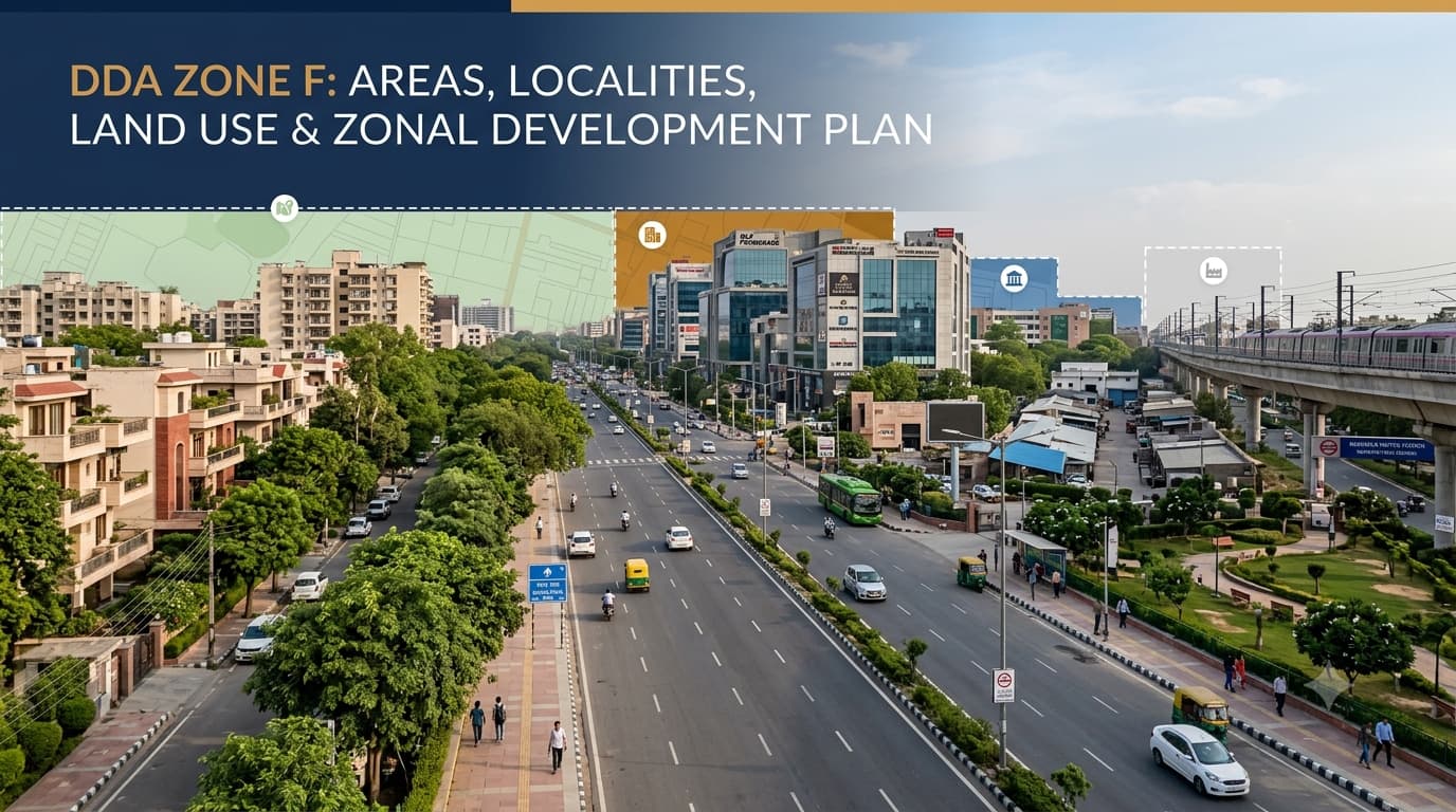
DDA F Zone Delhi Areas and Localities
Zone F of DDA, which is referred to as South Delhi-I, forms one of the planning zones of Delhi. It differs from the large urban extension regions whose development is in progress because it comprises a matured blend of developed residential colonies, important commercial complexes, institutions, green areas, industries, transport routes, and sites that are historically important. The planning region has an area of about 11,958 hectares and has evolved through various stages of Delhi’s Master Plans. As a result, there is a diversity in the urban context, with planned colonies co-existing with villages and other types of areas. Zone F is a Planning Zone of Delhi Master Plan and its designation is "South Delhi-I". The history of development in this zone ranges from the era before independence to the Master Plans of 1962 and 2001 up to the present framework of the MPD-2021. Due to the fact that there was development in the zone for many years, the zone does not have one single physical character but different characters exist depending on the area. The key point for property research is that Zone F is a planning boundary, not a single land-use category. A property being located within the zone does not by itself establish whether it is residential, commercial, institutional or any other specific use. The geographical position of South Delhi-I helps explain its importance within Delhi's urban structure. According to the DDA's Zonal Development Plan, the zone is broadly bounded by: North: Ring Road, from the Dhaula Kuan side towards Maharani Bagh East: River Yamuna and the NH-2 bypass West: Delhi Cantonment, Indira Gandhi International Airport and the National Highway-8 corridor South: Badarpur-Mehrauli-Mahipalpur Road This places the planning area across a substantial portion of South Delhi and connects it with important residential, commercial, institutional and transportation corridors.For a property buyer, however, the zone boundary is only the starting point. The exact locality, layout plan and land-use designation are more important when assessing an individual property. South Delhi-I comprises many different localities which have established themselves. In its planning documents, the DDA mentions some of the popular localities, such as Vasant Vihar, Westend, Anand Niketan, Panchsheel, Friends Colony, Maharani Bagh, Hauz Khas, South Extension, New Friends Colony, Mayfair Garden, Gulmohar Park, Geetanjali, East of Kailash and Safdarjung Development Scheme. Some other localities and planning areas included in the layout documents of the DDA are Adhchini, Chirag Delhi, Jasola, Madangir, Sheikh Sarai, Saket, Kalkaji, Lado Sarai, Yusuf Sarai, Vasant Kunj, while DDA land pooling is a separate planning mechanism applicable to specific notified areas and should not be assumed to cover every locality within South Delhi-I. This diversity is one reason why the same planning zone can contain very different property markets and development conditions. Residential development is an important element of South Delhi-I. Various kinds of residential development are identified in the Zonal Development Plan. These include government housing, cooperative housing societies, private colonies, DDA housing scheme, rehabilitation colonies, unauthorized regularized colonies, and urban villages. This implies that there is a wide range of meanings to the term “residential property” in Zone F. A buyer should therefore distinguish between: Planned residential colonies DDA-developed housing Cooperative housing societies Privately developed colonies Group housing Urban villages Regularised colonies Redevelopment areas The applicable layout plan, building regulations, title documents and land-use designation can differ between these categories. It also consists of areas of significant commercial and employment importance. The district centres are mentioned as Nehru Place, Bhikaji Cama Place, and Saket in the planning documentation of the DDA. There is no restriction of commercial activity only within the district centres. Other parts of the zone may also have mixed use, markets, and commercial activity according to planning laws. For buyers of property and investments, it is very significant that there should be no assumption that any busy street with commercial activity enjoys unrestricted commercial land use. One of the defining characteristics of South Delhi-I is its concentration of major institutions. The DDA's Zonal Development Plan identifies institutions such as: All India Institute of Medical Sciences Safdarjung Hospital Holy Family Hospital Delhi University South Campus Indian Institute of Technology Jawaharlal Nehru University Jamia Millia Islamia Zone F contains several categories of planned land use rather than one uniform designation. The Zonal Development Plan provides for land uses including housing, commercial areas, public and semi-public facilities, utilities, roads, recreational areas and industrial activities. The presence of a land-use category on a planning map does not by itself establish permission for a particular property. Parcel-level verification remains necessary. The Zonal Development Plan is an important planning document because it translates the broader Master Plan framework into a more detailed zone-level structure. The DDA explains that a Zonal Development Plan can include the approximate location and extent of different land uses, roads, housing, recreational areas, commercial activities, industry, utilities and public or semi-public facilities. It can also address development components such as population and density. The Zone F plan also reflects the area's long development history. Earlier planning objectives included protecting the green character of the South Central Ridge, providing for appropriate mixed-use activity in residential areas and conserving important historical monuments. The plan should therefore be understood as a planning framework, not as a substitute for property-level approval. One of the most useful resources for researching a specific property is the DDA's collection of layout plans. Current DDA records list layout plans for several locations within South Delhi-I, including: Saket Friends Colony East of Kailash Safdarjung Development Jasola Tughlaqabad Institutional Area Okhla Industrial Area Vasant Kunj Vasant Vihar Kalkaji Lado Sarai Gautam Nagar Yusuf Sarai Masjid Moth The DDA's layout-plan records also contain modifications and redevelopment-related documents for individual sites. This is important because a broad zone-level map cannot provide all the information needed to understand an individual plot. If you are buying or evaluating property in South Delhi-I, the planning zone should be treated as the beginning of the verification process. Check: Exact property address Locality and sub-zone Khasra or parcel details where applicable Approved layout plan Land-use designation Building and development controls Road width and access Ownership and title documents Whether any land-use modification affects the property Whether the property falls within a redevelopment, institutional, industrial or other special planning area Latest DDA notifications and planning records For older colonies, villages and redevelopment areas, additional document verification may be necessary because the development history can be more complicated than the locality name suggests. A common mistake is to treat the planning zone and locality as interchangeable. They are not. Zone F identifies a broad planning division. A locality such as Vasant Vihar, Saket, Jasola or East of Kailash identifies a much smaller geographical area within that broader framework. Even within one locality, individual plots can have different planning characteristics because of layout boundaries, institutional parcels, road reservations, land-use modifications or other planning controls. Therefore, a property should not be evaluated only by asking: “Is this property in Zone F?” The more useful questions are: “Which locality is it in?” “Which layout plan applies?” “What is the designated land use?” “Are there any modifications or special controls?” Zone F means all properties are residential. A property in South Delhi automatically has commercial use. A Zonal Development Plan is the same as building approval. A locality name proves the property's land use. An old DDA map is sufficient for verification. A practical property-checking process is: Identify the exact locality. Locate the applicable layout plan. Verify the land-use designation. Check for modifications. Match the property documents. Check development controls. DDA Zone F is officially known as South Delhi-I. It covers approximately 11,958 hectares and includes established residential areas, commercial centres, institutions, green spaces, industrial areas and other urban uses. Major areas associated with the planning zone include Vasant Vihar, Anand Niketan, Hauz Khas, South Extension, Friends Colony, East of Kailash, Saket, Vasant Kunj, Jasola, Okhla, Kalkaji, Sheikh Sarai and several other localities. No. It contains multiple land-use categories, including residential, commercial, institutional, industrial, recreational, transportation and utility uses. It is a zone-level planning document that provides a framework for land use, roads, housing, commercial areas, institutional facilities, recreational spaces, utilities and other development components. Not reliably. The locality provides geographical context, but the applicable layout plan, land-use map, parcel details and latest planning modifications should be checked. Because it covers a large and mature part of South Delhi with many different development patterns. Understanding the applicable planning framework can help buyers distinguish between location, land use and actual development permissions. DDA Zone F represents one of Delhi's most diverse established planning areas, combining residential communities, commercial centres, major institutions, industrial areas, green spaces and important transport corridors. Its long development history also means that planning conditions can vary considerably between localities and individual properties. For property research, the most useful approach is to move beyond the broad zone name and examine the locality, approved layout, land-use designation, applicable modifications and property-level documents before making a decision.What Is DDA Zone F?
Zone F Map and Boundaries
Major Areas and Localities in Zone F
Residential Development Across the Zone
Commercial Centres and Employment Areas
Institutional and Educational Landscape
Land Use in Zone F
Zonal Development Plan for Zone F
Layout Plans and Property-Level Planning
What Property Buyers Should Check
Zone F vs Locality: Why the Difference Matters
Common Misunderstandings About Zone F
No. The planning area contains residential, commercial, institutional, industrial, recreational, transportation and utility uses.
No. Commercial activity and commercial land-use designation are not the same thing.
No. A ZDP provides a planning framework. Property-level development permissions depend on applicable rules and approvals.
No. The exact property and applicable planning records need to be checked. The same principle applies when verifying a property identified within Delhi L Zone.
Not necessarily. Planning modifications and subsequent notifications can affect the applicable status.How to Research a Property in Zone F
Do not rely only on “South Delhi” or “Zone F.”
Check whether DDA has an approved or modified layout for the area.
Establish whether the particular parcel is residential, commercial, institutional, industrial or another permitted use.
Look for later changes to land use, redevelopment proposals or other planning decisions.
Compare the physical property and ownership documents with the relevant planning information.
Before assuming that construction, redevelopment or commercial activity is permitted, verify the applicable regulations and approvals.FAQs
What is DDA Zone F?
Which areas come under Zone F?
Is Zone F only a residential area?
What is the Zone F Zonal Development Plan?
Can I determine a property's land use from its locality?
Why is Zone F important for property research?
Conclusion