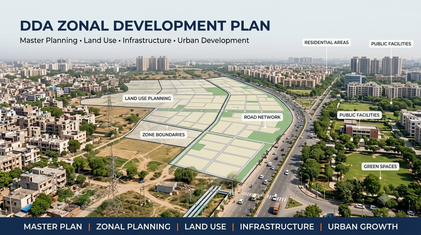
DDA Zonal Development Plan
There are various zoning plans in Delhi that govern land use, infrastructure development, transportation, public facilities, and urban development. The DDA Zonal Development Plan is an advanced plan that gives details of how the zoning plans operate and assists in understanding how different areas have been categorized in the planning system. When it comes to land buying, it is important to know about the ZDP since the planning zone alone cannot determine the permitted use, development opportunities, or even the legal status of the property.
What Is a DDA Zonal Development Plan?
The Zonal Development Plan is a detailed planning instrument prepared for a particular planning zone of Delhi. It acts at an intermediate stage between the Master Plan of the entire city and detailed Layout Plans. In the ZDP, one can locate land uses, transportation systems, public facilities, parks, open spaces, among others. It is important to note that the objective of the ZDP goes beyond just pinpointing the location of the planning zone. The ZDP serves as a mechanism through which the user is able to appreciate the way in which each of these elements within the planning zone interacts. This is especially pertinent in the study of land tenure where parcels of land found within the same planning zone may have varying use restrictions.
DDA ZDP and Delhi's Planning Zones
The planning structure of Delhi has been categorized into various zones and sub-zones, each one applying to a specific geographic region. The zones allow for urban planning to be carried out at a level which is more focused than the whole city-wide planning system. There are zones which apply to urban regions as well as villages.
DDA ZDP Map and Zone-Wise Planning Information
DDA ZDP Map gives a visual illustration of the planning framework of a specific zone. In any case, depending on the type of the map, it can give a user insights into such elements as land use, main roads, circulation pattern, green space, public facilities, development zones and others. The DDA ZDP Map is particularly helpful in the case when a purchaser seeks to get information regarding the planning environment of his purchase object. The map will inform him of whether he is buying the property that is located in a residential planning area, along a main transportation route, around a facility, in some other land use zone. Nevertheless, the interpretation of maps must always be linked with the specific location of the property rather than its zone/locality name.
The main information that users may look for in a zone-wise plan includes:
Existing and proposed land-use areas
Residential and commercial planning areas
Institutional and public facilities
Parks and recreational areas
Major roads and circulation networks
Transport infrastructure
Utility infrastructure
Green and environmental areas
Villages and development areas
Planned urban extensions
This is why the terms DDA ZDP, DDA ZDP Map, DDA ZDP Plan and DDA ZDP Zone Wise are commonly used when researching planning information for different parts of Delhi.
Zone-Wise DDA Zonal Development Plans
Different DDA zones have their own planning context, and the information relevant to one zone cannot automatically be applied to another. K-I, K-II, P-I and P-II, for example, have different geographical characteristics, development patterns and planning considerations. For readers researching individual zones, the following related resources provide more focused information:
Land Use Under a Zonal Development Plan
Land use is among the key considerations that make up the ZDP. One planning zone may have several land use types, and all of these have a specific purpose in the urban development process. Residential zones may have houses and related activities, while commercial zones will provide space for markets and offices, among others. DDA L Zones for institutional, recreational, transportation and utility purposes will be required.
Planning for agricultural and environmental lands is a special consideration because planning for such lands differs significantly from planning for residential or commercial urban lands. The same goes for a property that is near an existing market or a major road; the land cannot be assumed to be commercial by default. The specific land use will have to be verified through planning documents.
A key point for property research is that planning zone and land-use category are not the same thing. A single zone may contain several categories, so the exact parcel must be checked against the relevant land-use plan.
ZDP vs Master Plan vs Layout Plan
The Master Plan, Zonal Development Plan and Layout Plan operate at different levels of the planning system. Understanding this difference helps prevent confusion when researching a property or development area.
The DDA ZDP Plan should therefore be understood as a zone-level planning framework rather than a property-level construction approval. A buyer may need to examine the applicable Layout Plan and other development controls after identifying the relevant zone and land-use designation.
How to Read a DDA ZDP Map
Reading a zone map becomes easier when the information is checked in a logical order. Instead of looking at the entire map at once, start with the property's location and gradually move towards more detailed planning information.
Start with the planning zone
First identify the relevant DDA planning zone. A property may be described using a zone name, village, locality, sector or nearby landmark, but the zone should be confirmed against the applicable planning map.
Locate the village or locality
The next step is to identify the village, locality or development area shown in the planning documents. This establishes geographical context and helps narrow down the relevant portion of the ZDP.
Check the land-use designation
Identify the land-use designation applicable to the area containing the property. Different portions of the same planning zone can have different land uses, so the zone name alone is not sufficient.
Check roads and planned infrastructure
Major roads, transport corridors, road widening proposals and other infrastructure can affect individual parcels. These elements should therefore be reviewed along with the land-use designation.
Check the applicable layout information
Where a Layout Plan or more detailed planning document is available, compare it with the ZDP to understand the local development structure, roads, facilities and plot arrangement.
Check the latest planning information
Planning documents can be modified over time. Before relying on an older map, check whether a subsequent modification or updated planning document applies to the area being examined.
Zonal Development Plan and Property Verification
Property-level verification can be organized around the following points:
Identify the planning zone and exact location.
Confirm the village, locality or sector.
Locate the exact property or parcel.
Check the relevant land-use designation.
Examine the applicable ZDP and Layout Plan.
Check road, transport and infrastructure reservations.
Verify applicable development controls.
Examine ownership and title records separately.
Check relevant permissions and approvals.
Review the latest applicable planning modifications.
DDA ZDP and Land Pooling
The relationship between zoning and land pooling can be understood through the following distinction:
For property research, the DDA land pooling policy should therefore be checked separately from the general planning-zone designation. For future planning research, the Delhi master plan 2047 should also be distinguished from the specific notified planning document applicable to the property at the time of verification.
FAQs
What is a DDA Zonal Development Plan?
A DDA Zonal Development Plan is a detailed planning framework for a particular zone of Delhi. It helps explain land use, circulation, infrastructure, facilities, open spaces and other elements of planned development.
What is the difference between DDA ZDP and the Master Plan?
The Master Plan provides the broader planning framework for Delhi, while a ZDP provides more detailed planning information for a specific zone. A Layout Plan can provide further local-level planning information.
What does a DDA ZDP Map show?
A DDA ZDP Map can show land-use designations, roads, circulation networks, public facilities, recreational areas, infrastructure and other planned elements within a particular zone.
Does a ZDP prove that a property can be constructed on?
No. A ZDP provides planning information but does not by itself establish construction permission. Applicable development controls, approvals and property-level records also need to be checked.
Is every property in a DDA zone residential?
No. A planning zone can contain several land-use categories, including residential, commercial, institutional, recreational, transportation, utility and other uses.
Does being in a DDA zone mean that the property is under land pooling?
No. Land pooling applies to specific areas and sectors under the relevant framework. A property's planning zone and land-pooling status should be verified separately.
Why should buyers check the latest DDA planning map?
Planning documents can be modified over time. Checking the latest applicable information helps reduce the risk of relying on an outdated land-use designation, road plan or development proposal.
Conclusion
The DDA Zonal Development Plan plays an essential role within Delhi’s urban planning process, by providing detailed information about the organization of individual zones, land uses, road planning, and integration of various development zones into the overall urban fabric. For property research purposes, however, the identification of the zoning name should not be enough.