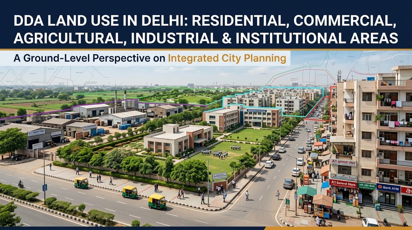
Delhi's varied land-use pattern includes residential, commercial, industrial, institutional lands, parks, transport systems, utilities, agriculture and water bodies. Land uses are planned within the context of the city's planning system, including the Delhi Master Plan 2047, which provides a broader framework for the future development of various zones in the city. A knowledge of the land uses defined by DDA Land Use in Delhi is crucial for the study of any residential land, commercial land, industrial land or land plot in Delhi. The Delhi land use map and Delhi land use plan can help in understanding the planning designation of different areas, but it should be noted that the name of the locality or planning zone is not sufficient to define the land use of the specific plot. Land use refers to the planned purpose for which land is designated. Under the MPD-2021 framework, Delhi's land-use plan is organised into nine broad categories, which are further divided into specific use zones. A planning zone is different from a land-use category. A planning zone is a geographical planning division, while land use identifies the intended function of land within that area. Therefore, one planning zone can contain several different land-use categories. Types of residential lands include colonies, apartments, group housing, DDA housing, cooperative housing, independent houses, among others. Nevertheless, just because something is classified as residential does not necessarily mean that all kinds of constructions or redevelopments are allowed. These can be regulated based on things such as plot size, road width, setbacks, floor area, ground coverage, parking, and even layout plans. Property buyers should check: Residential land-use designation Approved layout plan Plot dimensions and area Road access and width Building and redevelopment controls Parking and setback requirements Ownership and title documents Commercial areas support retail, offices, business services, trade, wholesale activities and other specified uses. Delhi's commercial structure includes district centres, community centres, local shopping areas, wholesale areas and other designated commercial locations. Commercial activity can also be permitted in certain mixed-use locations under specific conditions. However, the presence of shops or offices in an area does not automatically mean that every property there has unrestricted commercial permission. Agricultural land and green-belt areas have a different planning role from conventional urban residential and commercial land. They can be subject to specific restrictions relating to construction, development and permitted activities. An undeveloped parcel should therefore not automatically be treated as future residential or commercial land. Buyers should examine: Current land-use designation Revenue records Planning boundaries Green-belt or environmental restrictions Permitted activities Development status Access and right of way A claim that agricultural land may become residential in the future should not be treated as proof of present development permission. Industrial land is planned for manufacturing, repair, service and other permitted industrial activities. Industrial and commercial uses are not interchangeable, even when both areas contain businesses. Before purchasing industrial property, buyers should verify: Industrial land-use designation Permitted industrial activity Environmental requirements Fire-safety requirements Building and structural controls Storage provisions Utility availability Expansion or redevelopment restrictions The name of an industrial area alone does not establish what a particular premises can legally be used for. Institutional and public or semi-public land supports facilities serving wider community requirements. Depending on the designation, these uses can include: Schools, colleges and universities Hospitals and healthcare facilities Research institutions Cultural facilities Sports facilities Government and public-service facilities Religious and community facilities Institutional land can occupy large parcels and influence surrounding development. A property located near residential development should not automatically be assumed to have residential land use. Recreation land covers areas such as parks, sports grounds, and other lands that are meant for recreational and environmental purposes. Some of the green lands, Ridge lands and environmental lands may have further restrictions. Transport land includes areas that have been reserved for transport-related infrastructure such as roads, railways, metro, airport and others. The proposed infrastructure may have impacts on the individual parcels through road reserves, road widening, transport corridors, and so forth. The utility land caters to the basic infrastructure services like power, water, drainage, sewerage and waste management. These land-use considerations are also relevant when reviewing DDA F Zone planning and property records. The activity currently taking place on a property is not necessarily the same as its planning designation. A building may currently operate as a shop, office or residence, but the existing activity alone does not establish what uses are legally permitted. This distinction is particularly important when evaluating properties advertised as commercial, residential, institutional or future development land. The map of land use gives a general idea regarding the way different areas of Delhi are planned and used. It is helpful to understand the connection between the residential areas, business centers, industries, institutions, recreational sites, transportation routes, and other purposes. But land use is not an approval of a particular property. This doesn’t mean that one gets the right for unlimited construction of some project or activity in the area. Descriptions of a property, such as "approved by DDA," "residential plot," or "commercial property," should be checked accordingly. Property level verification must start at the point of the property itself and not at the level of locality name alone. Get the address of the property along with plot number and khasra number if there is any, along with information regarding the locality and revenue village. The property can thus be verified in relation to the planning zone, land use plan, ZDP, layout plan and DDA land pooling status, where applicable. A practical verification sequence is: Property Details → Planning Zone → Land-Use Map → Zonal Development Plan → Layout Plan → Latest Modifications → Property Documents → Development Controls This process provides a more reliable understanding of a property's planning position than relying on a property listing or verbal claim. Large localities can contain multiple land-use designations. The locality name provides geographical context but does not necessarily determine the designation of every property. A planning zone is a geographical division. It can contain residential, commercial, institutional, industrial, recreational and other land uses. This distinction is also important when reviewing DDA L Zone property information. A property being used as a shop, office or residence does not by itself establish its complete planning status. Future development expectations should not be confused with an existing residential designation or confirmed permission. Planning documents can change. The latest applicable plan, modification and notification should be checked during property due diligence. The broad categories include Residential, Commercial, Industrial, Recreational, Transportation, Utility, Government, Public & Semi-Public Facilities, and Agriculture & Water Body. No. A planning zone can contain several different land-use categories. The exact designation depends on the applicable planning documents. Not automatically. The applicable land-use designation, planning status, permissions and development controls must be checked. Residential land is primarily planned for housing, while commercial land supports specified business, trade and service activities. Each can have different development controls. No. Land use is only one part of the planning framework. Applicable development controls, layout requirements and approvals must also be considered. Check the exact property details against the relevant land-use map, Zonal Development Plan, layout plan, latest modifications and property documents. The DDA land use in Delhi is used as a planning tool for housing, commercial activity, industrial use, institutions, recreation, transport, utility services, agriculture, and any other urban activities. Knowing the above mentioned uses of the land helps in distinguishing between the location of the land and the use of that land. It is necessary before purchasing or developing a plot that one must be certain about the land use classification and the relevant planning instruments, development control rules, modifications and titles of the land.DDA Land Use in Delhi
What Is Land Use in Delhi?
Residential Land Use in Delhi
Commercial Land Use in Delhi
Agricultural Land and Green Belt
Industrial Land Use in Delhi
Institutional and Public & Semi-Public Land
Recreational, Transportation and Utility Land
Land Use vs Existing Property Use
Why the DDA Land-Use Map Matters
How to Check Land Use for a Property in Delhi
Common Land-Use Mistakes Property Buyers Make
Assuming one locality has one land use
Treating a planning zone as a land-use category
Assuming existing use equals permitted use
Treating agricultural land as future residential land
Using an outdated planning map
Frequently Asked Questions
What are the main DDA land-use categories in Delhi?
Is every property in a DDA planning zone residential?
Can agricultural land be used for residential construction?
What is the difference between residential and commercial land?
Does a DDA land-use designation automatically allow construction?
How can I verify the land use of a property?
Conclusion